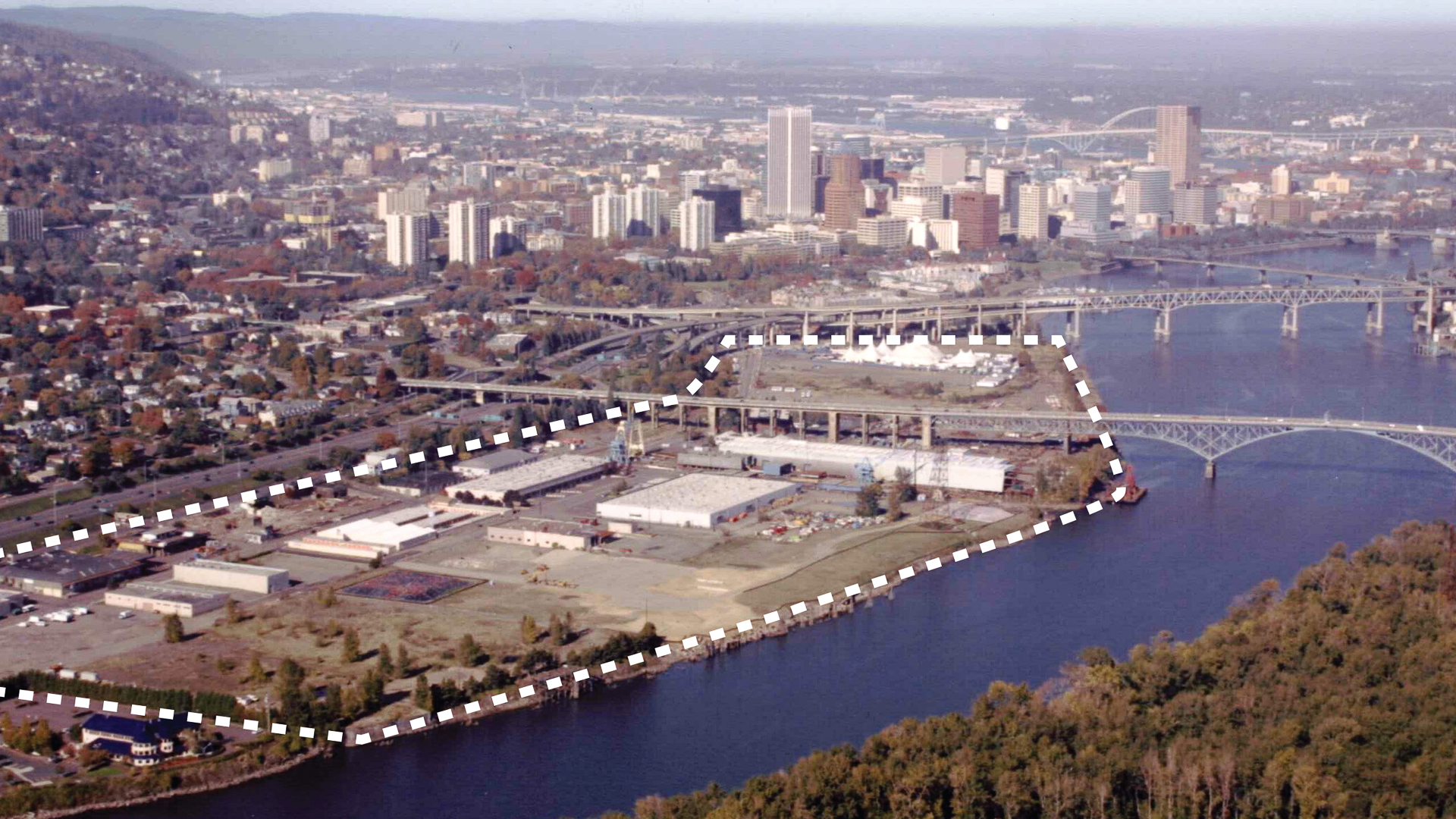
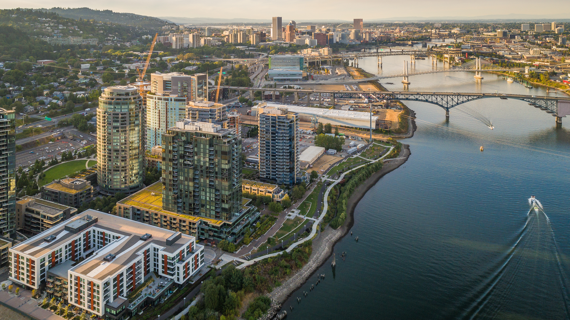
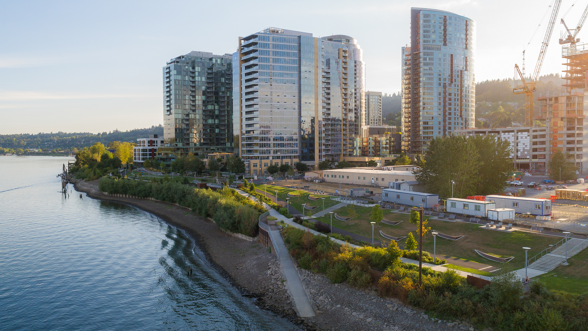
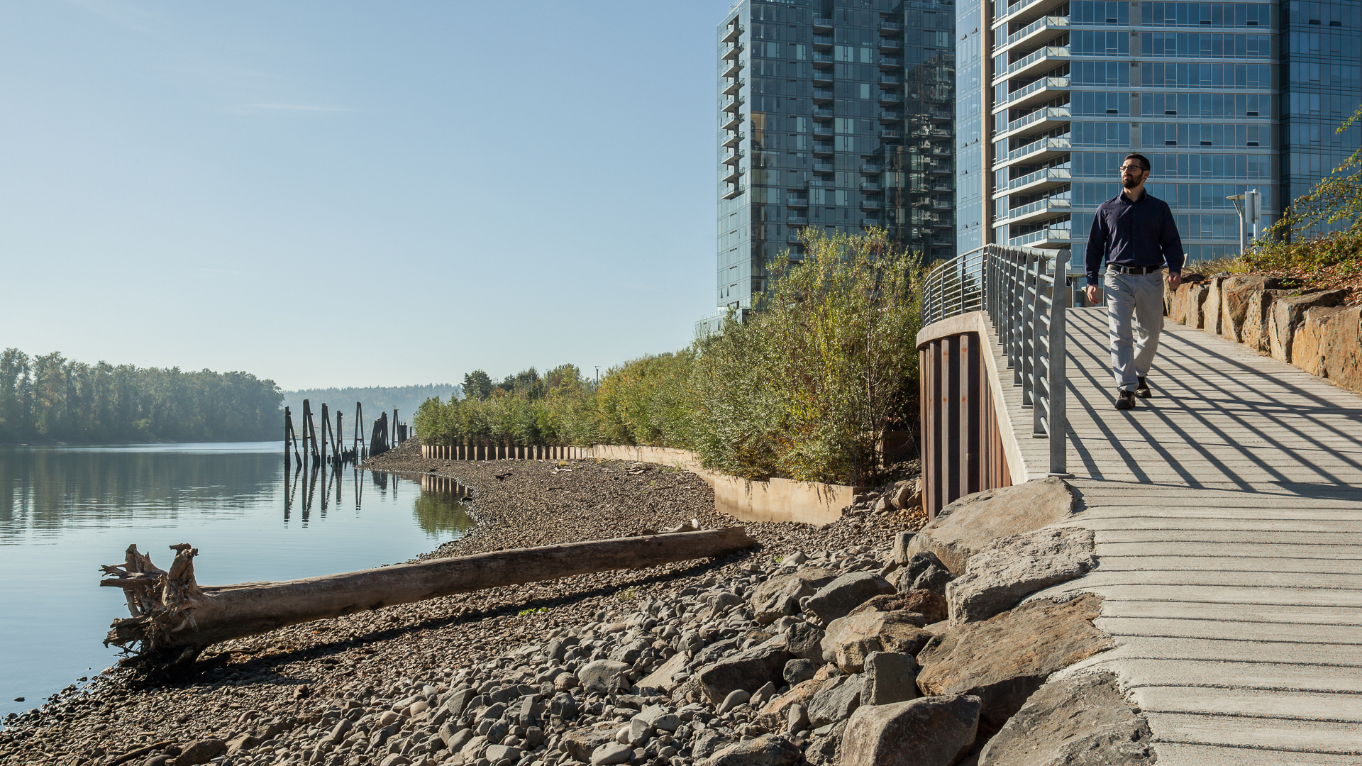
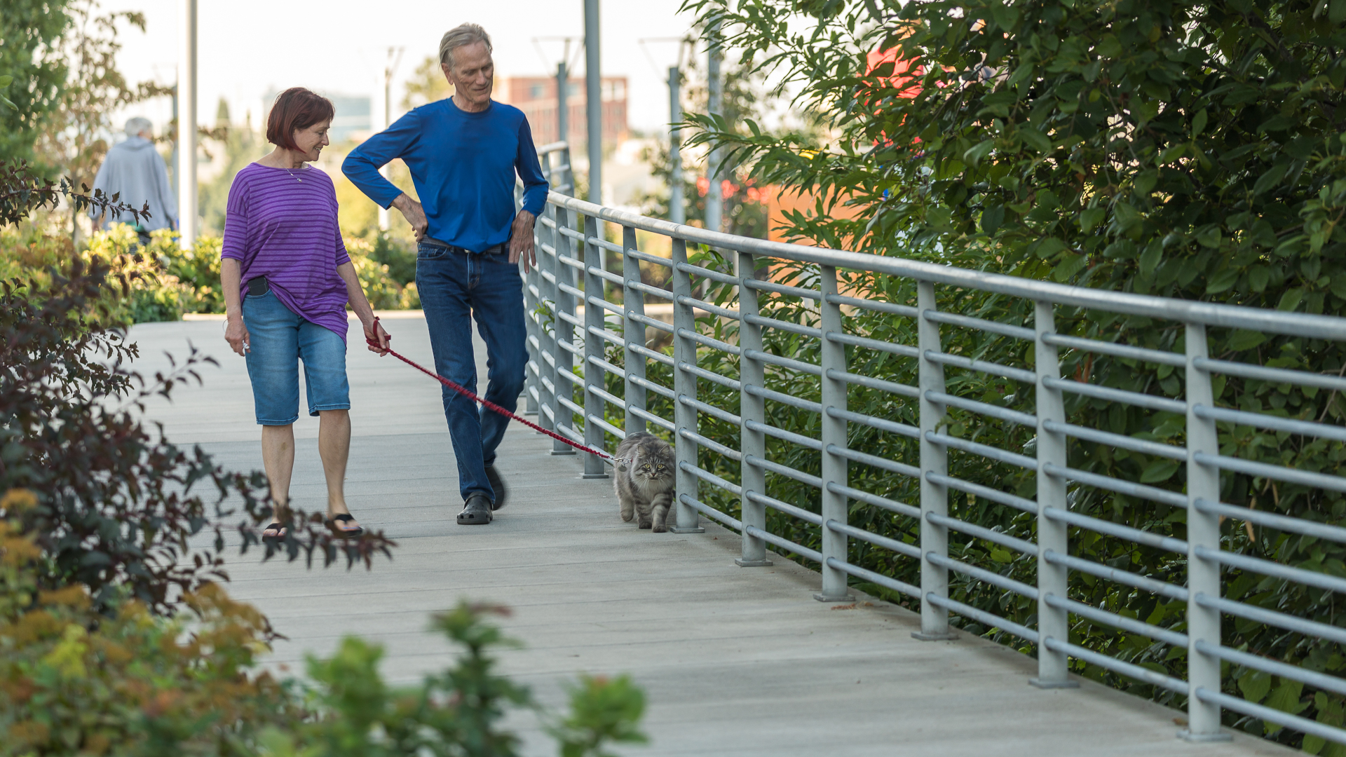
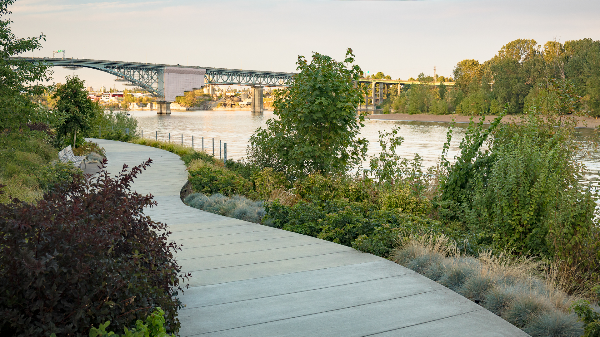
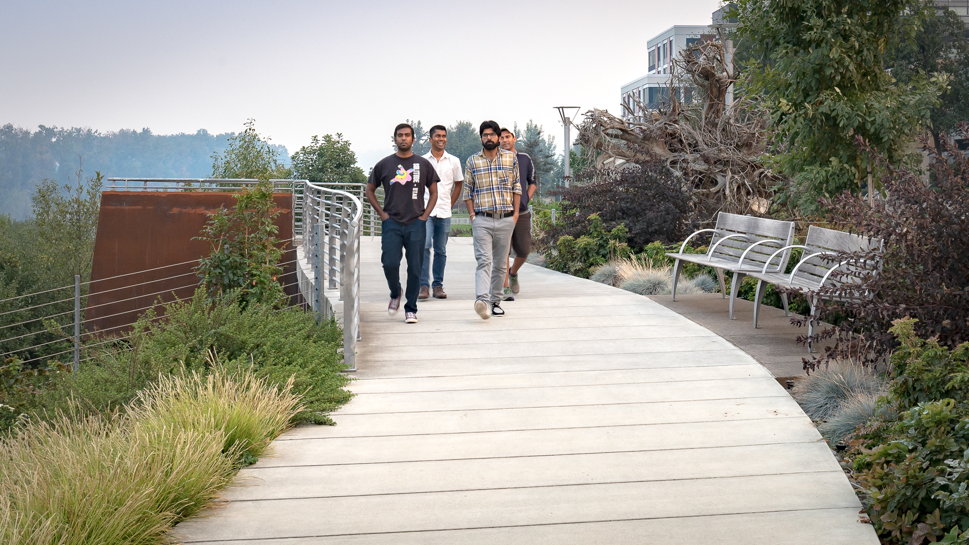
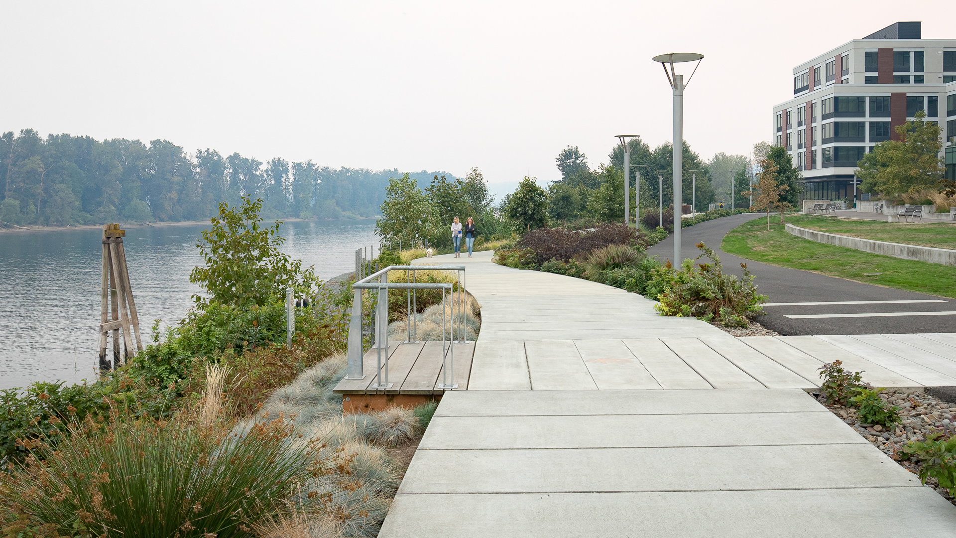
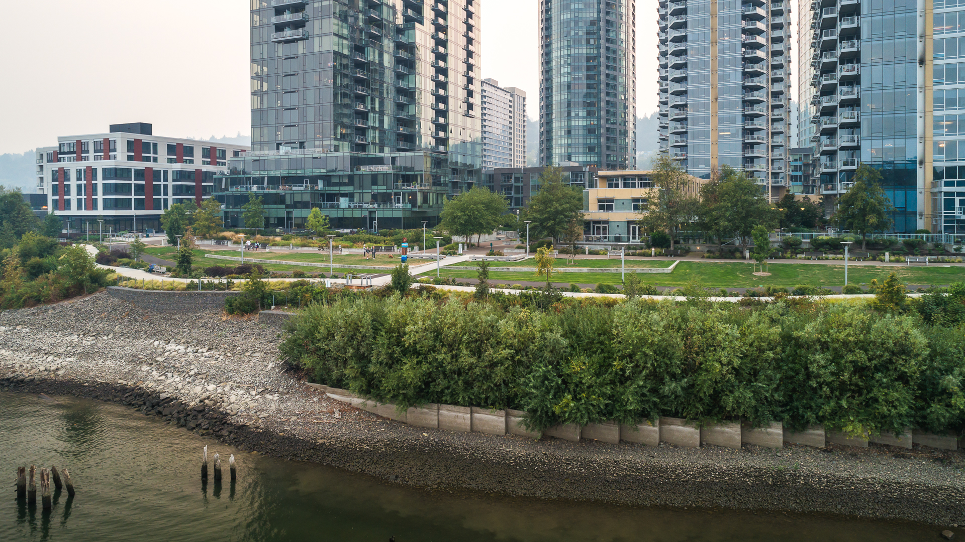
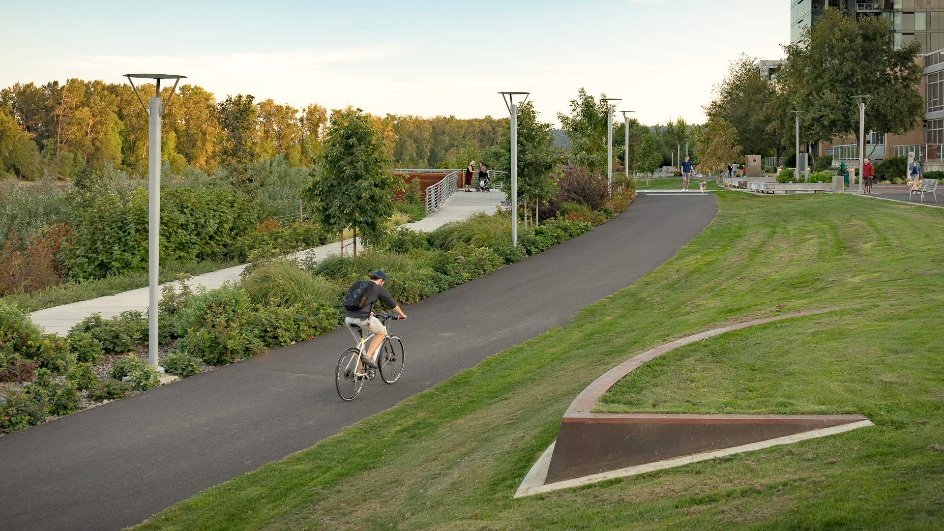
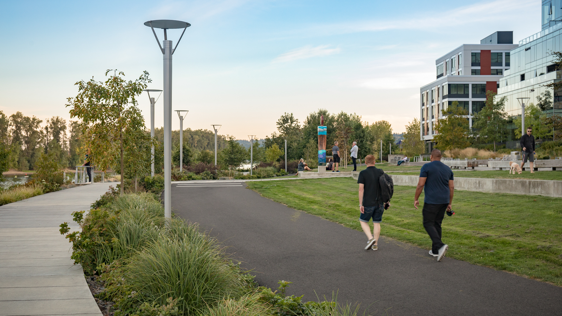
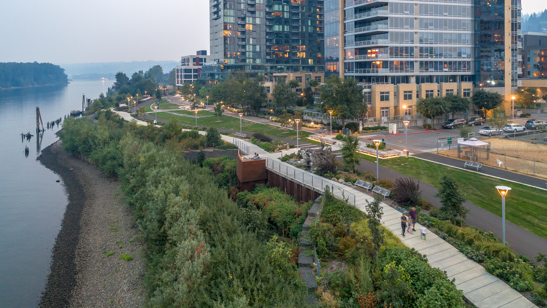
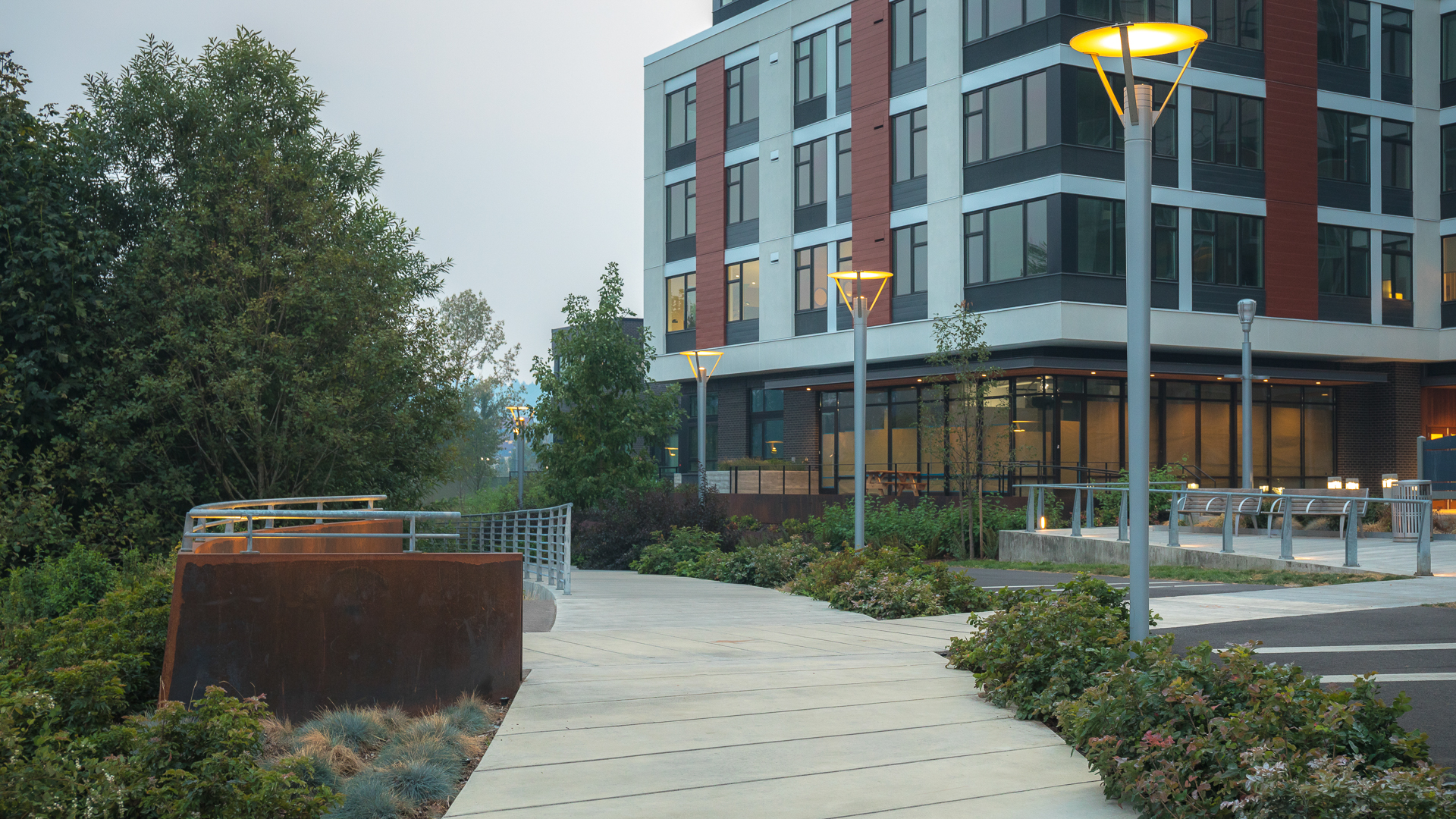
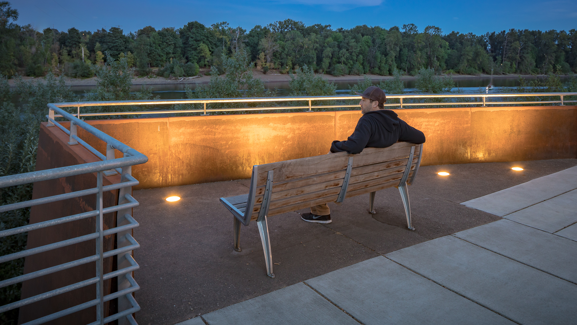
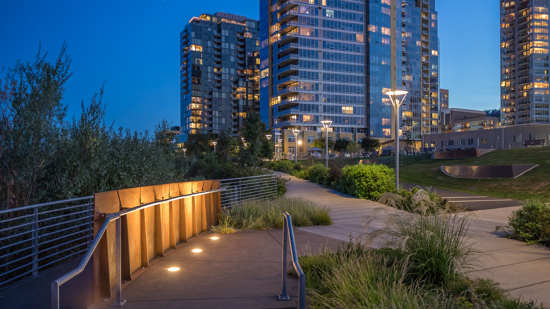
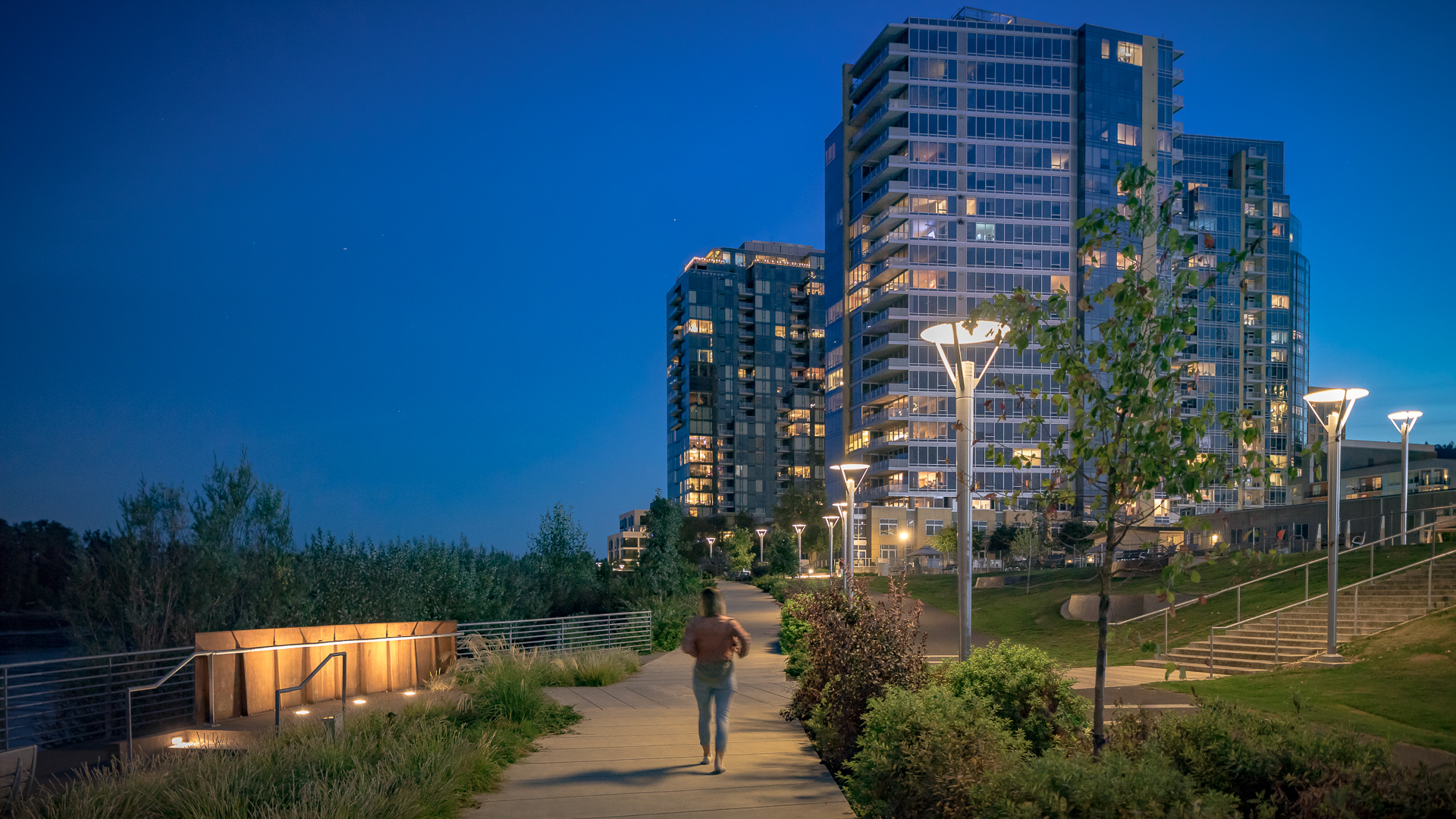
The new urban plan for South Waterfront includes a 1-1/2 mile extension of downtown’s waterfront parks and the reclamation of the Willamette River for public recreation. The design team worked closely with the City of Portland, developers, and natural resource advocates to strike a balance between development, recreation and re-naturalization of this neglected post-industrial waterfront. Extensive public outreach and charrettes with the community and other stakeholders required reconciling disparate and conflicting goals about the extent of development, re-naturalization and public access to the river.
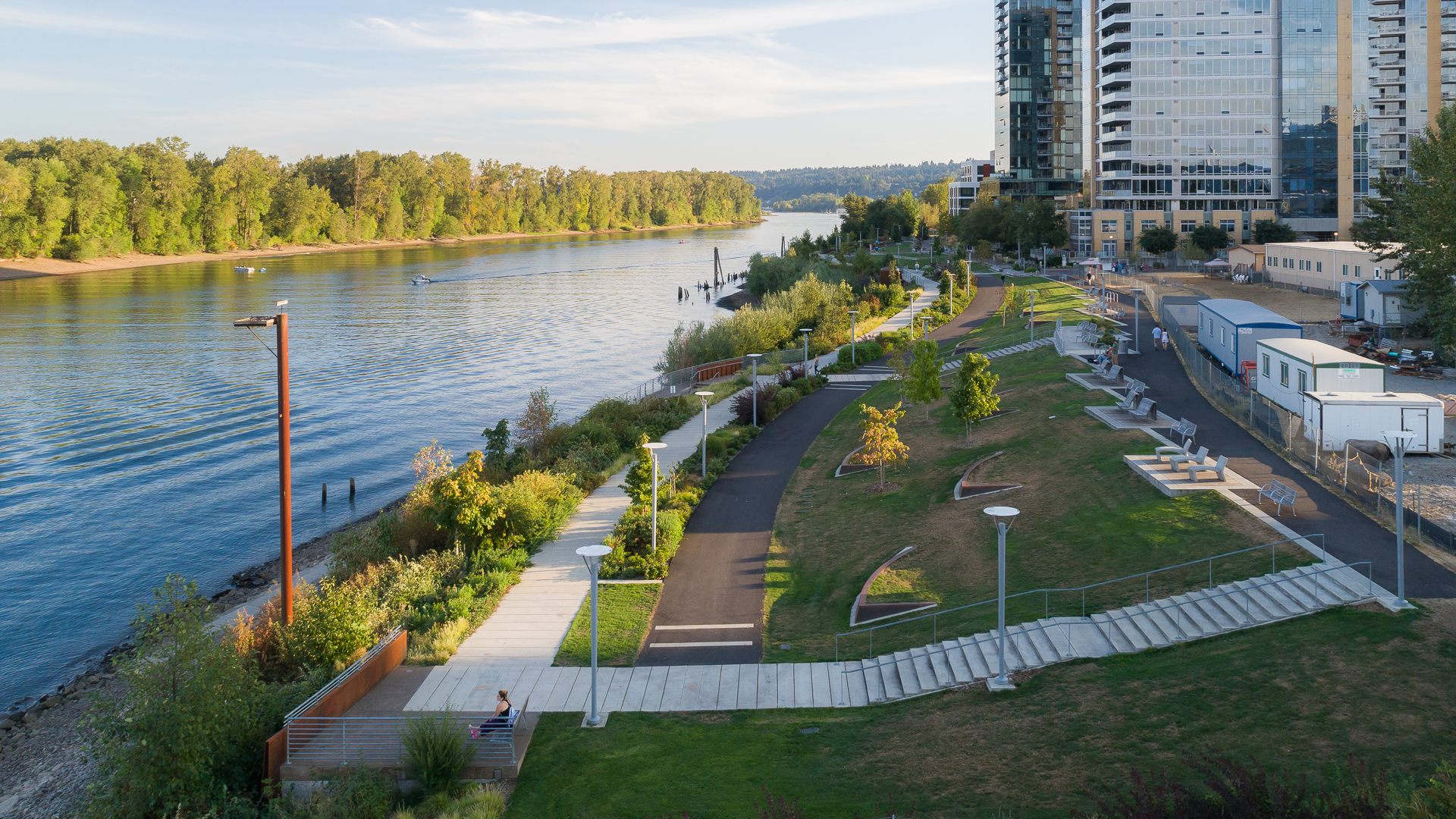
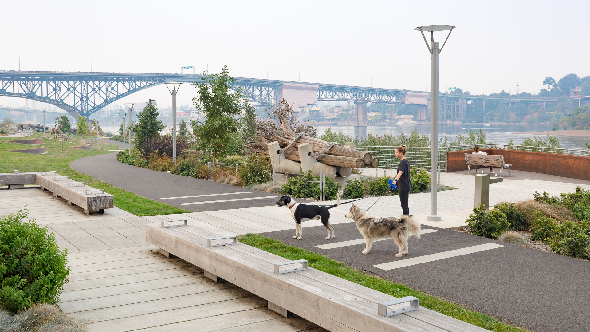
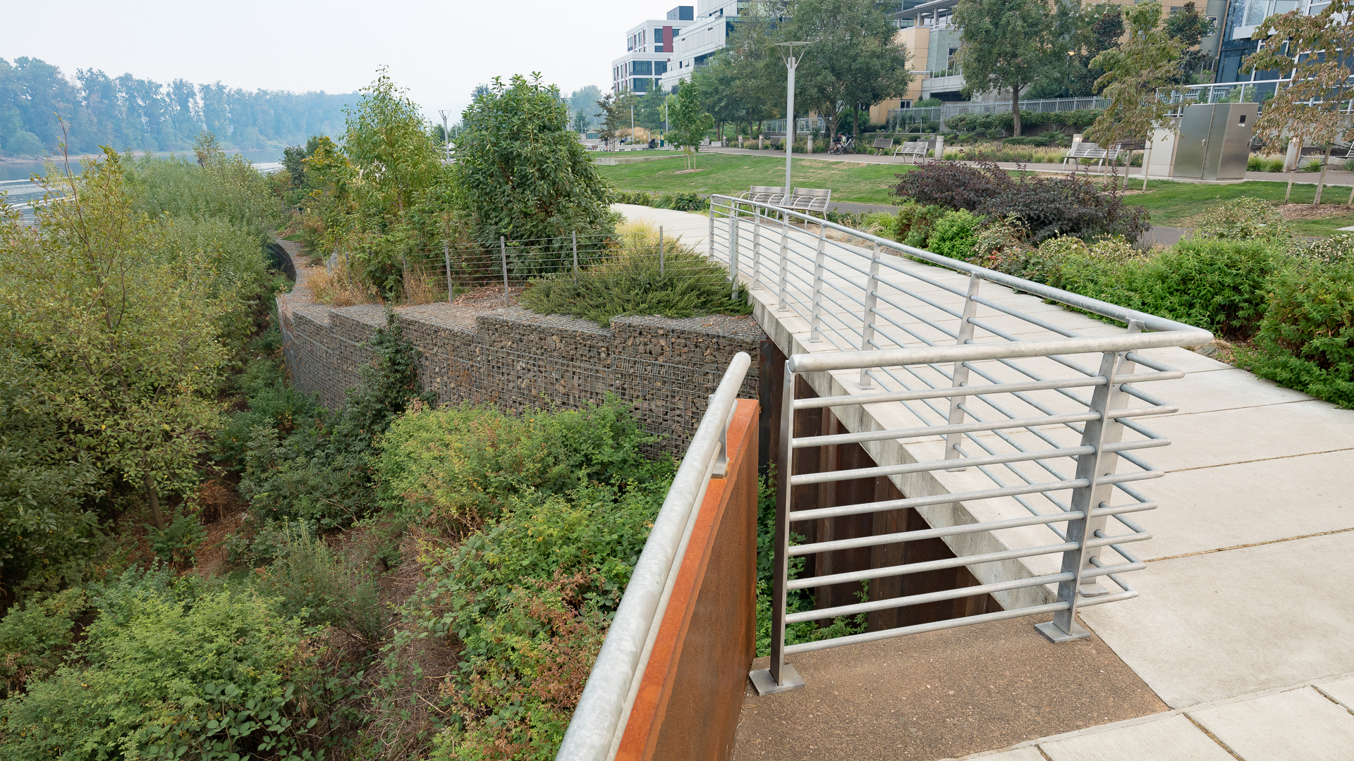
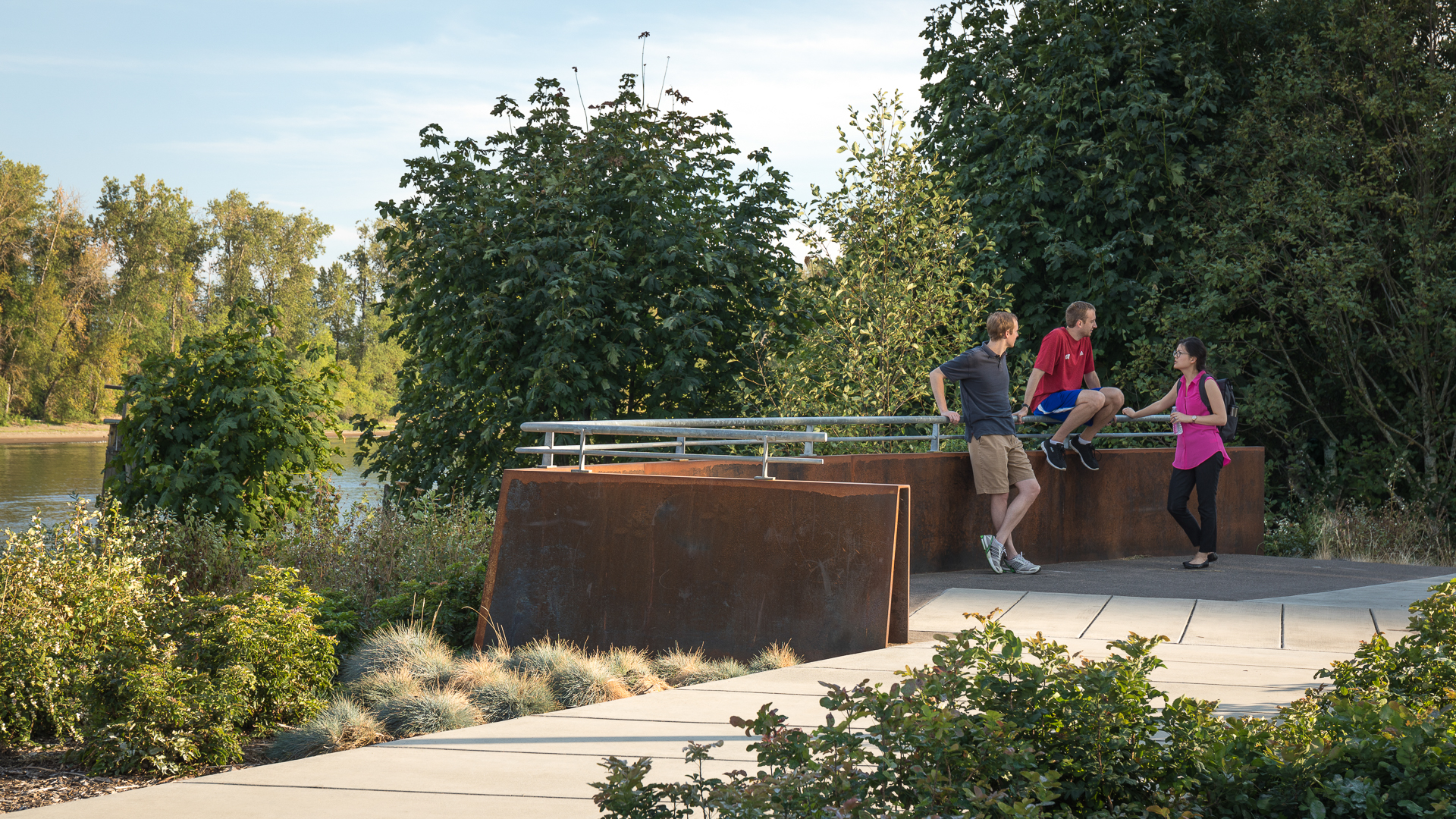
The schematic design achieved broad consensus and, together with design guidelines, is a comprehensive guide to the incremental mixed-use and park development that will follow. The park is first and foremost dedicated to the restoration of a post-industrial waterfront as a naturalized river edge and riparian habitat. The dense mixed-use development planned along its edge, as well as pedestrian and bike trails, placed the need for access at odds with the habitat goals. Working closely with environmental advocates, the design team devised a rational plan for the park, which strategically places access and activity in “moments” and nodes without compromising the newly-formed habitats. These spaces range from dramatic cantilevered pier overlooks, boat launches and active civic plazas to quiet, sloping lawns meadows and terraces. These spaces, along with the shoreline trail and bikeway, are all intended to serve the park’s diverse constituency and are connected to the city’s riverwalk, bikeway, tramway and light rail systems.
The design celebrates a rich, Native American and industrial logging and ship building heritage with a landscape narrative of cranes, ship’s bows, terraces, log overlooks and bargeways; all expressed in the 21st century design language of our current culture. While South Waterfront Park is unique to Portland’s cultural and historical heritage, it is a model for new urban waterfront parks across the country that must now meet a combination of environmental, cultural and growth goals on common ground.
Curtis Hixon Park
Curtis Hixon Waterfront Park has been heralded as Tampa’s missing “here” and the crown jewel in the city’s Riverwalk, a bold new urban plan conceived to reactivate the Hillsboro River and downtown Tampa. To ensure that the park takes its place as focal point of this new cultural district, a master plan was prepared from which the park, Riverwalk, and museums a...
Larchmont Yacht Club
Larchmont Yacht Club is the second-oldest yacht club in the United States. Conceived in 1880 on the cleft rocks of Larchmont Manor, the club has grown to a membership in excess of 600, with a continued mission to instill and enhance an interest in yachting and the spirit of sportsmanship in members and their families. Set within a mature forest of deciduous tr...
Riverside Park South Open Space Master Plan
As part of an urban design collaborative with Skidmore, Owings and Merrill for this new 65 acre redevelopment, Thomas Balsley Associates led the design effort for the project’s centerpiece, a 26-acre waterfront park on the Hudson River. The effort involved urban design, environmental considerations and a highway relocation; and required a creative, yet pragmat...
Westshore Park
Complementing the Inner Harbor’s world-famous promenade, Westshore Park has come to be known as the city’s living room on the harbor. The park is strategically located on the innermost shore of the harbor and sandwiched between the new Baltimore Visitor Center and the Maryland Science Center. Having rediscovered its maritime heritage and opened it to the world...

