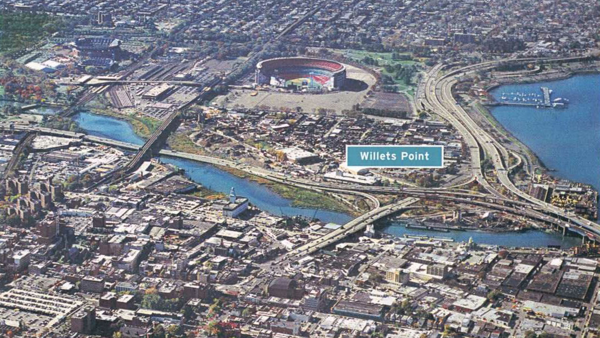
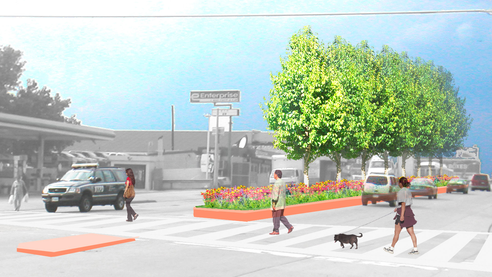
The development framework for Downtown Flushing seizes on the unique and significant attributes of the area and connects them into a cohesive whole, implementing improvements to the public realm and incentivizing high-quality private development. The framework builds upon the rich history and cultural diversity of Downtown Flushing; the study area currently enjoys a robust local economy and a regional identity as a center of Asian cuisine and food markets.
The overarching vision of Downtown Flushing consists of four interrelated components intended to capitalize on the area’s vitality, transportation assets, and potential as a regional retail and entertainment destination. The strengths of the traditional downtown core, centered at Main Street and Roosevelt Avenue, will be consolidated through transportation and streetscape improvements. The plan is to further reconnect this core to a redeveloped riverfront with new retail and residential options, as well as public access to the water. The vision includes connections to close but difficult-to-access amenities such as Flushing Meadows Corona Park and encourages rediscovery of it waterfront, inclusive of a proposed walkway and habitat corridor along the Willet Point Waterfront.
Gateway Mall Master Plan
The Gateway Mall runs 18 blocks through the center of downtown St. Louis, terminating at the famous Eero Saarinen Arch, and provides a green spine in which the downtown’s workers, residents, and visitors can relax and celebrate urban living.
The mall never fully lived up to the potential envisioned by the civic leaders at the time of its inception. Thom...
Gubei Gold Street
SWA was selected to conceptualize, design, and realize a rare find in bustling Shanghai—a pedestrian mall (Gold Street). The corridor occupies three city blocks, is flanked by 20-story high-rise residential towers with retail at street level and book-ended by SWA-designed parks. Creating an iconic presence and enlivening the area, the mall features plazas, fou...
Riverside Park South
On the West Side of Manhattan, on the scenic Hudson River shoreline, Riverside Park South is a massive, multi-phase project of sweeping ambition and historic scope. Combining new greenspace, new infrastructure, and the renovation of landmark industrial buildings, the plan—originally devised by Thomas Balsley Associates in 1991—is an extension of Frederick Law ...
Riverside Park South Open Space Master Plan
As part of an urban design collaborative with Skidmore, Owings and Merrill for this new 65 acre redevelopment, Thomas Balsley Associates led the design effort for the project’s centerpiece, a 26-acre waterfront park on the Hudson River. The effort involved urban design, environmental considerations and a highway relocation; and required a creative, yet pragmat...


