
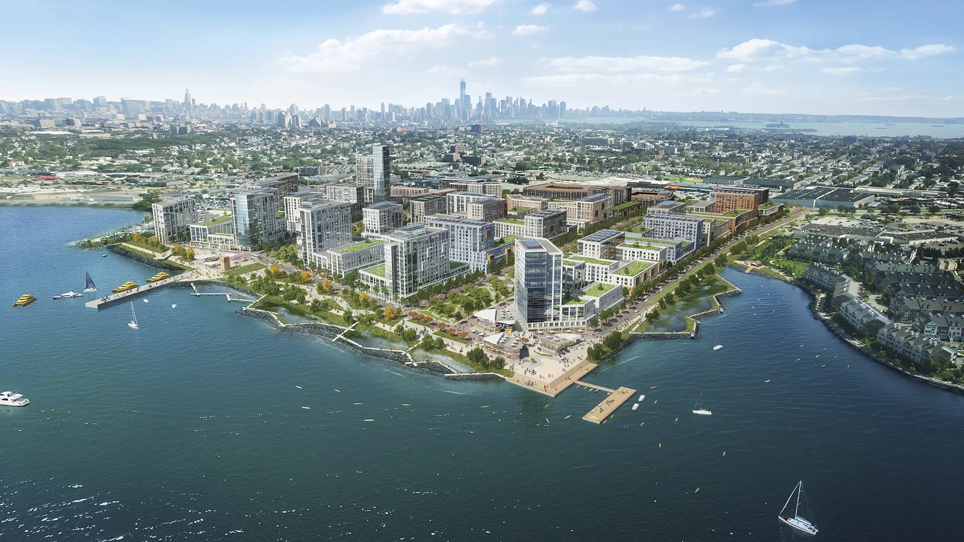
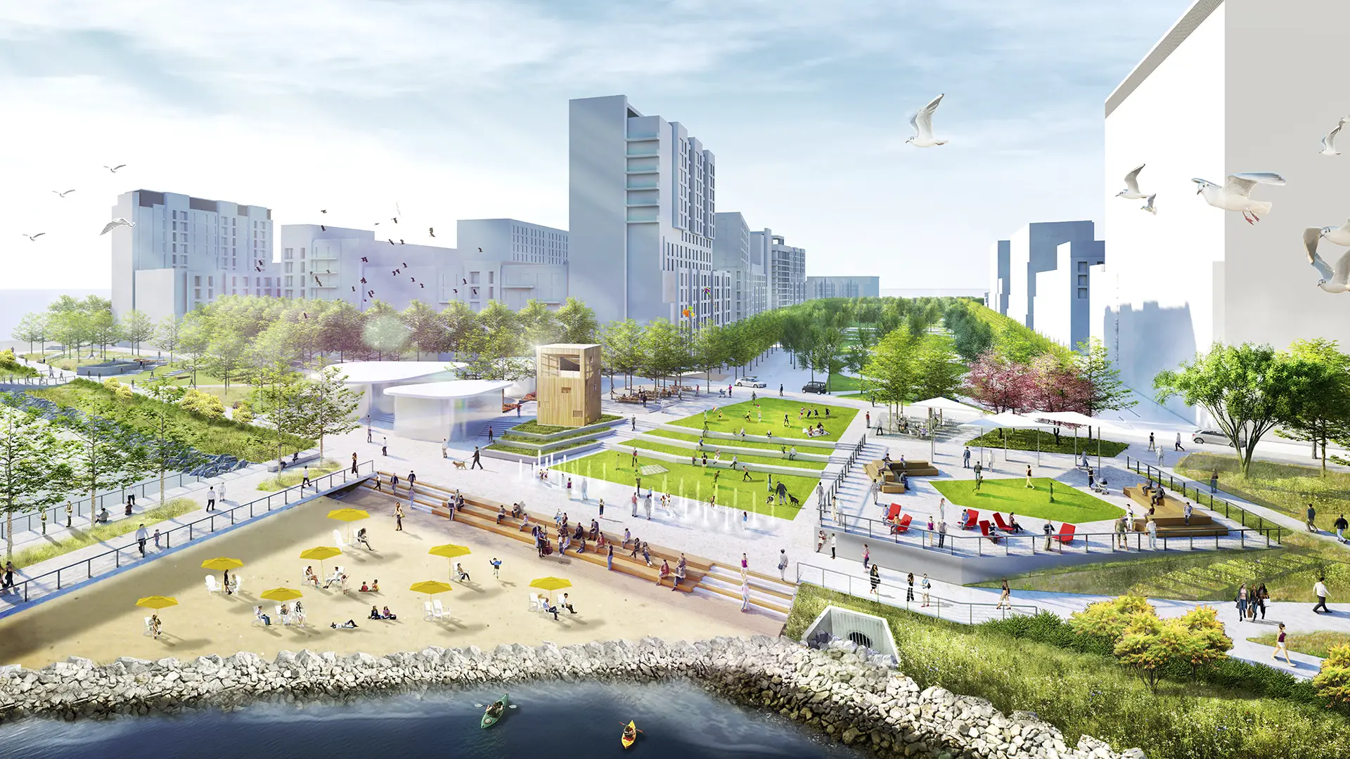
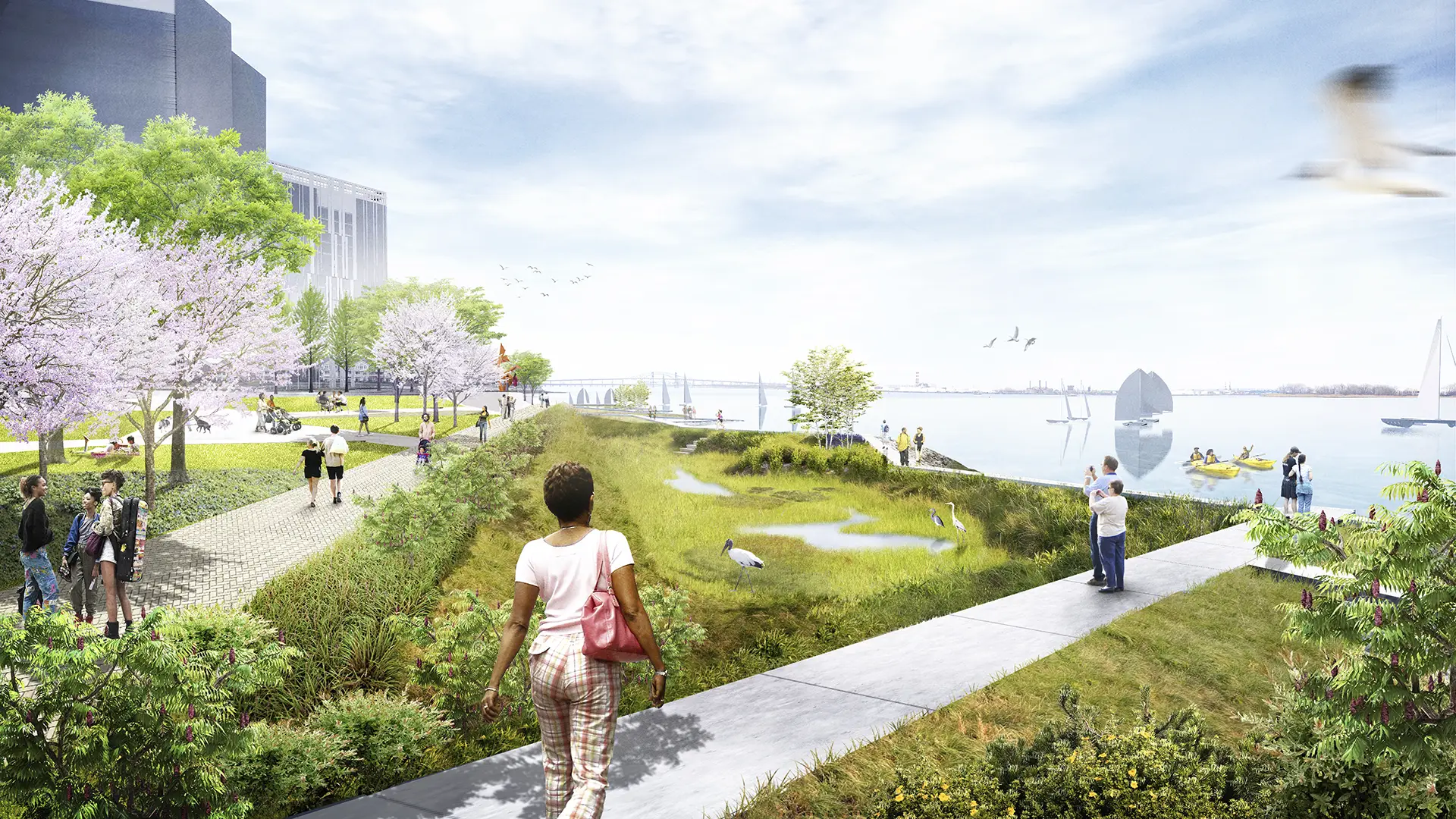
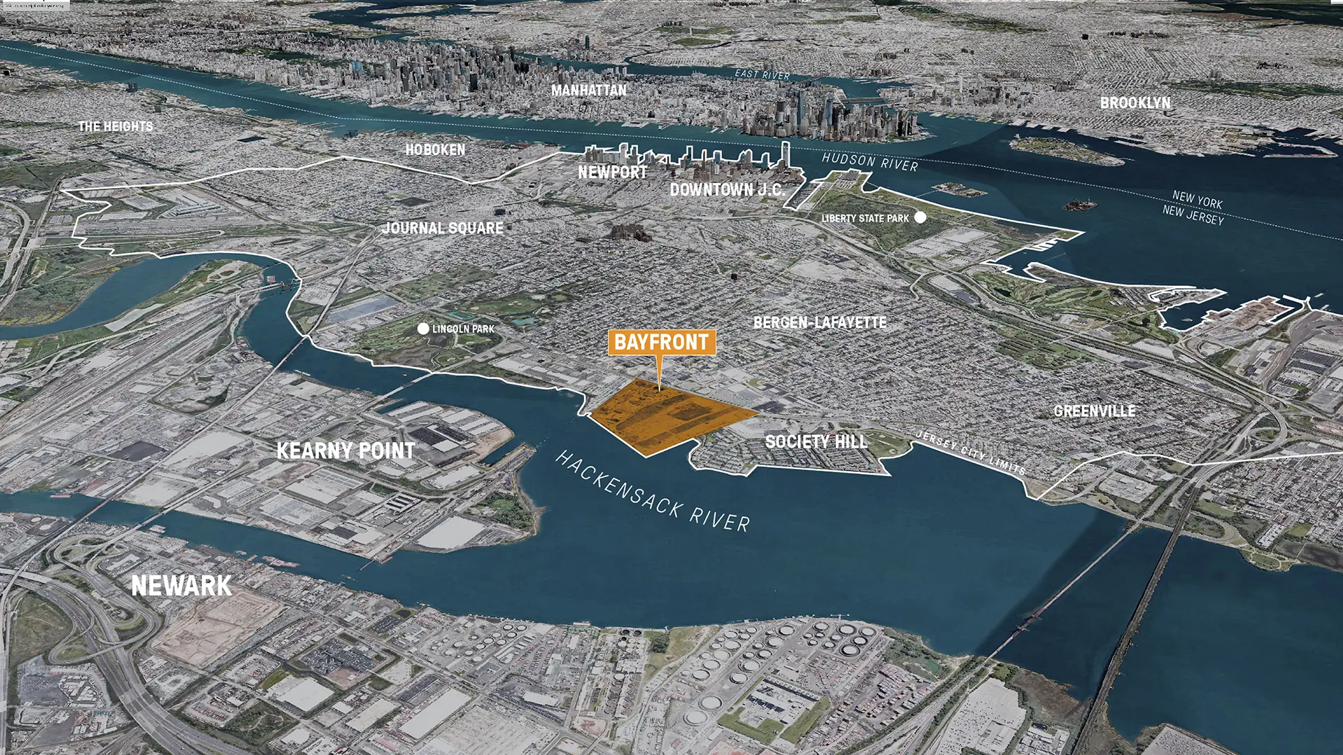
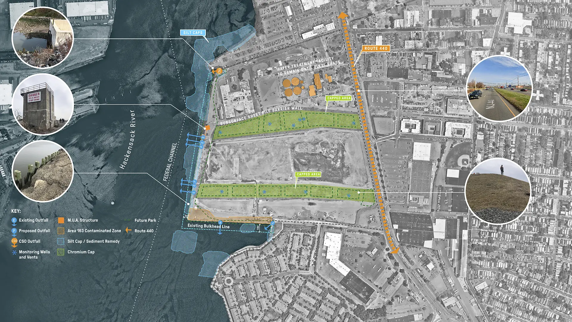
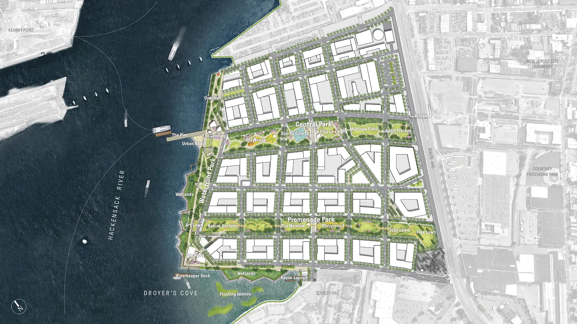
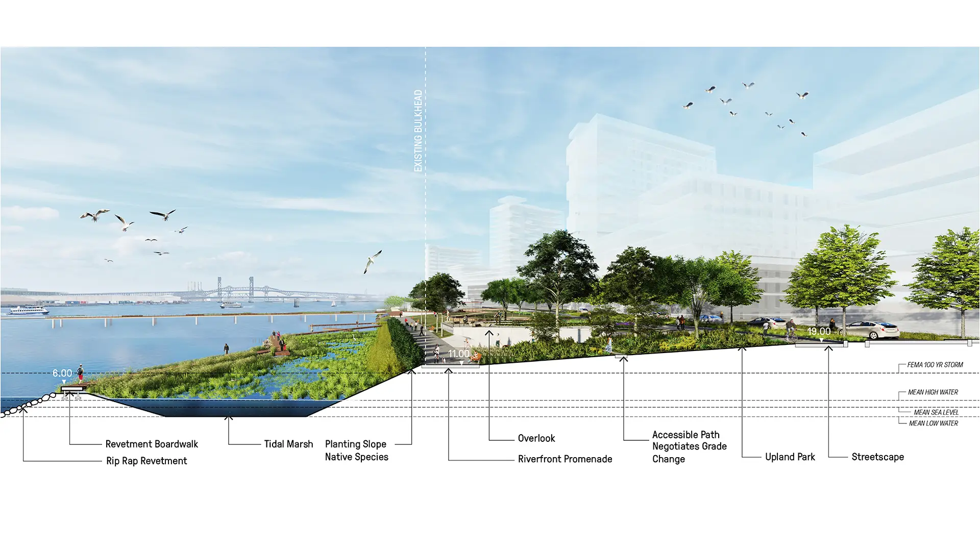
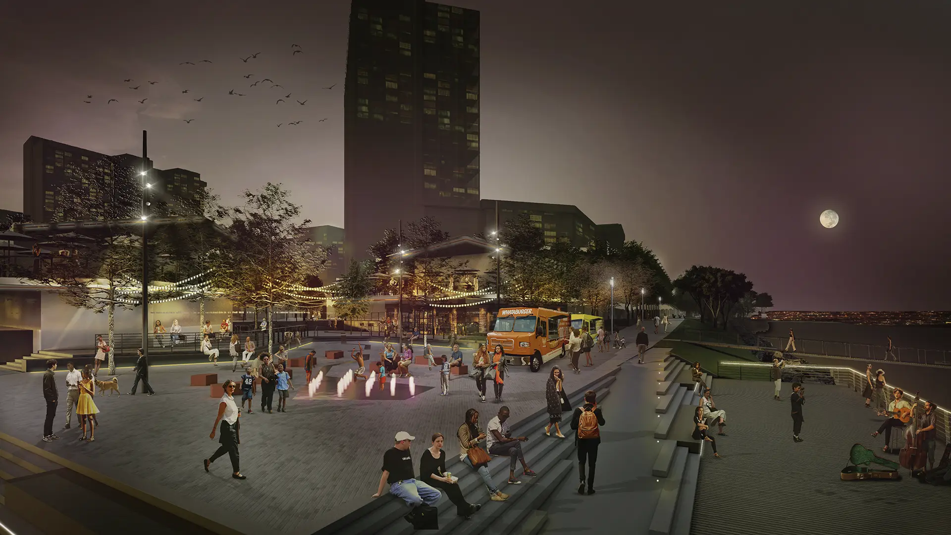
Bounded by the scenic Hudson to the east, Jersey City is lined with high-rise towers and waterfront parks offering views of Manhattan. To the west, the often-overlooked Hackensack features wetlands, industry, and degraded post-industrial sites. The Bayfront Redevelopment Master Plan aims to transform a formerly contaminated 100-acre site on the Hackensack River into a model of sustainable and equitable development. Upon completion, Bayfront will feature 8,000 residential units, 35% of which will be affordable, 340,000 square feet of commercial space, an intermodal transportation hub with light-rail and water-taxi service, 19 acres of public open space, and a publicly accessible waterfront. This project is set to be the largest mixed-income development in the Tri-State Area.
The interdisciplinary team led by Perkins Eastman, including SWA and Moffat & Nichol, aimed to ensure the master plan benefits not only future residents but also catalyzes the economic revitalization of Jersey City’s underserved west side, reconnecting diverse neighborhoods to the Hackensack Riverfront. The planning process involved extensive engagement with community groups, including the Bayfront Advisory Committee, and coordination with multiple city and state agencies.
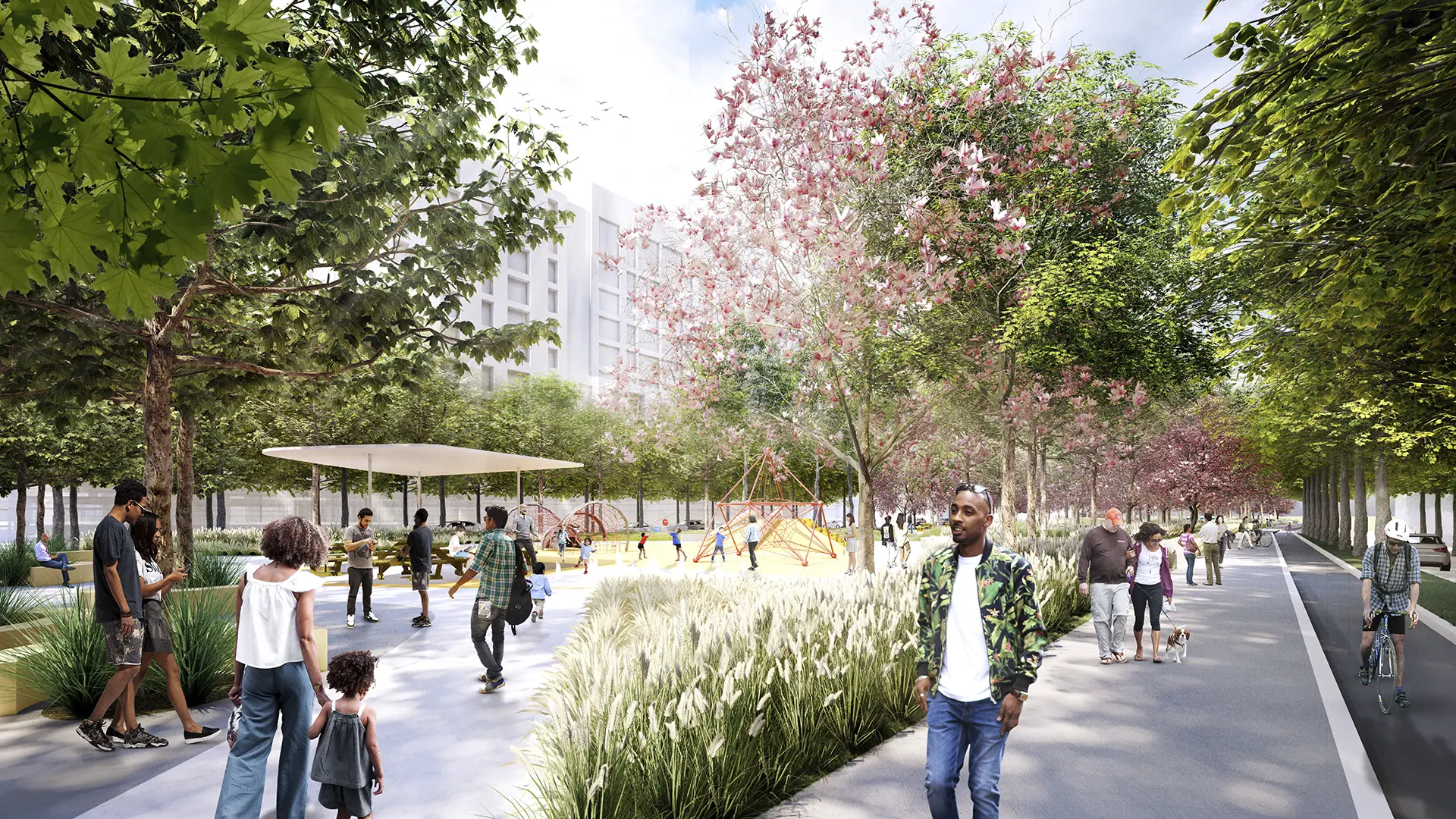
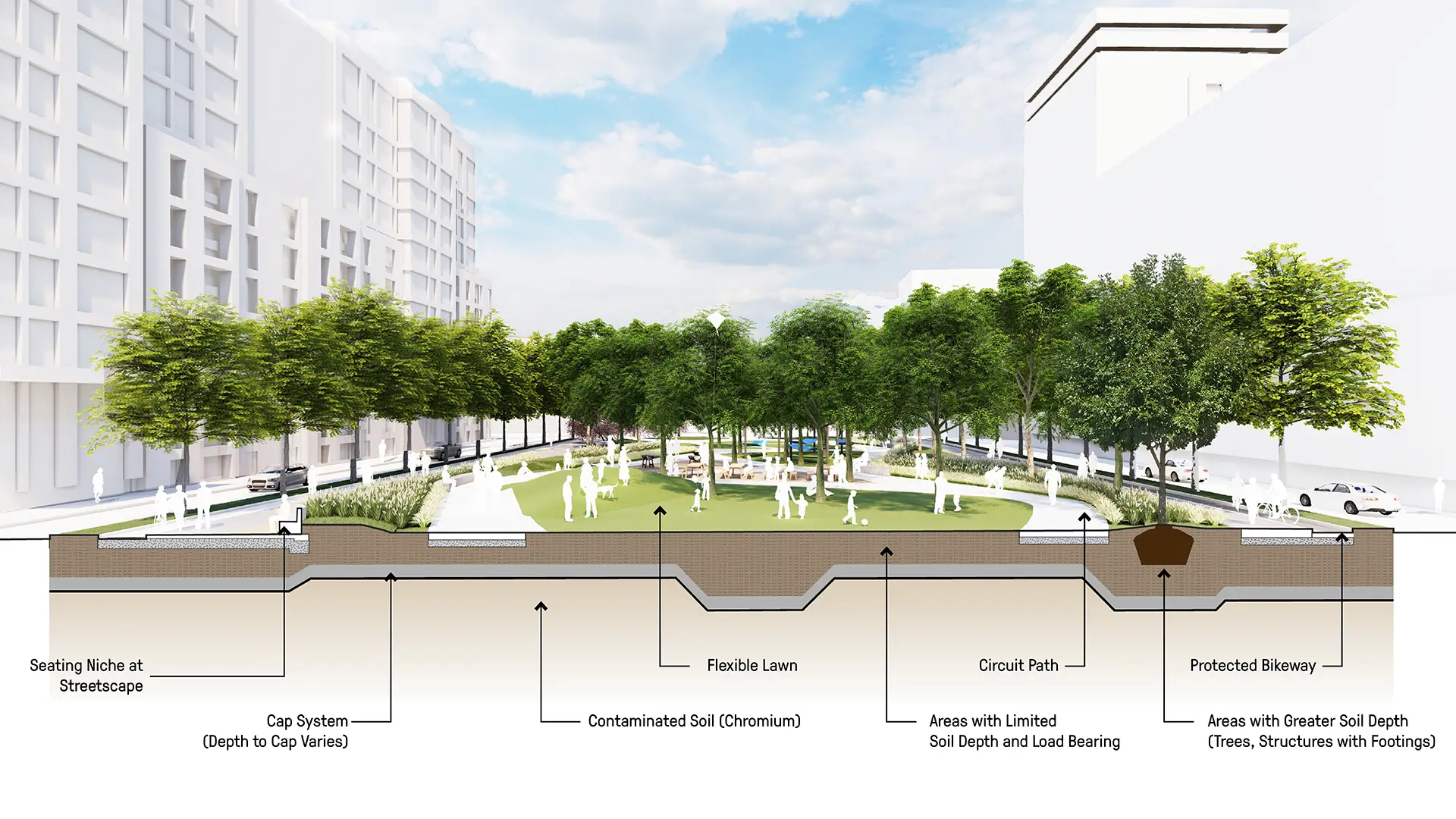
The centerpiece is a half-mile waterfront park with two primary nodes, piers, docks for maritime activity, and newly created marshlands to absorb rising tides, improve water quality, and provide habitat. Two linear parks, built atop engineered caps isolating contaminated soil, connect upland neighborhoods to the riverfront. Central Park serves as the main access corridor, featuring a pedestrian and bicycle bridge over Route 440, protected bikeways, trails, and recreational areas. Promenade Park offers more passive programming for the predominantly residential district. Both parks provide continuous green spaces while adhering to soil depth and loading limitations to protect the underlying cap system.
Dubai Creek Harbor
Dubai Creek Harbor is a progressive and innovative new neighborhood that aims to respond to environmental concerns with professional, best-practice measures that will ensure an environment that is healthy, accessible, and environmentally responsible.
The storied history, culture, and nature of Dubai Creek serves as the inspiration for the design of Duba...
Westshore Park
Complementing the Inner Harbor’s world-famous promenade, Westshore Park has come to be known as the city’s living room on the harbor. The park is strategically located on the innermost shore of the harbor and sandwiched between the new Baltimore Visitor Center and the Maryland Science Center. Having rediscovered its maritime heritage and opened it to the world...
Riverside Park South
On the West Side of Manhattan, on the scenic Hudson River shoreline, Riverside Park South is a massive, multi-phase project of sweeping ambition and historic scope. Combining new greenspace, new infrastructure, and the renovation of landmark industrial buildings, the plan—originally devised by Thomas Balsley Associates in 1991—is an extension of Frederick Law ...
South Waterfront Greenway
The new urban plan for South Waterfront includes a 1-1/2 mile extension of downtown’s waterfront parks and the reclamation of the Willamette River for public recreation. The design team worked closely with the City of Portland, developers, and natural resource advocates to strike a balance between development, recreation and re-naturalization of this neglected...