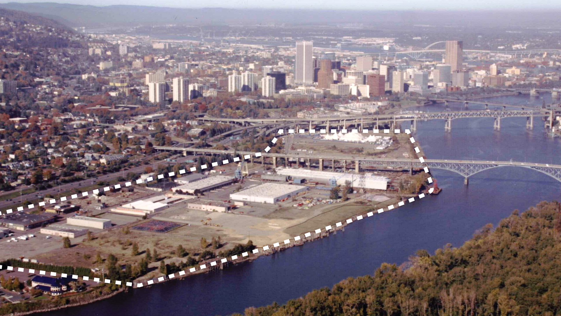
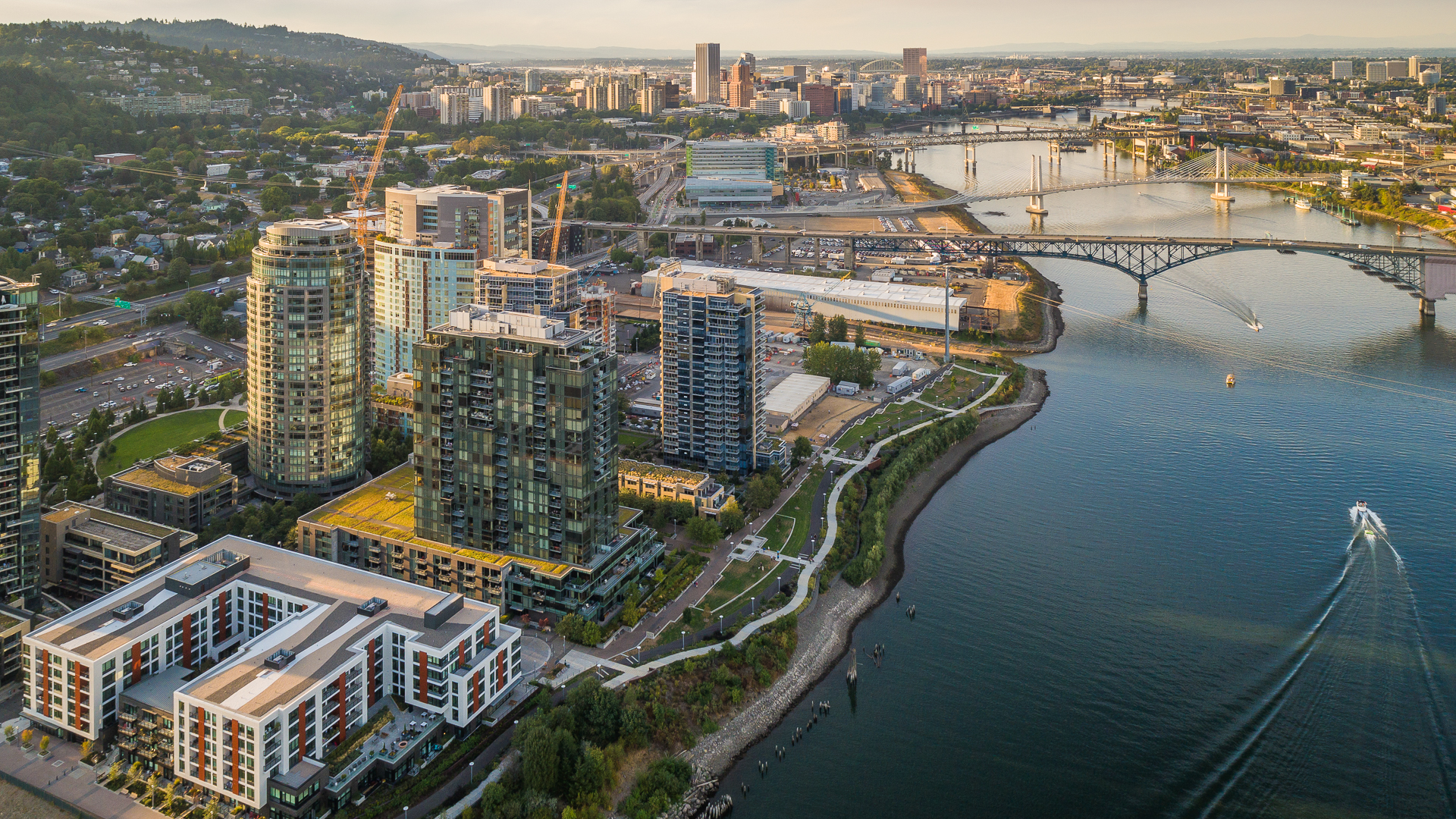
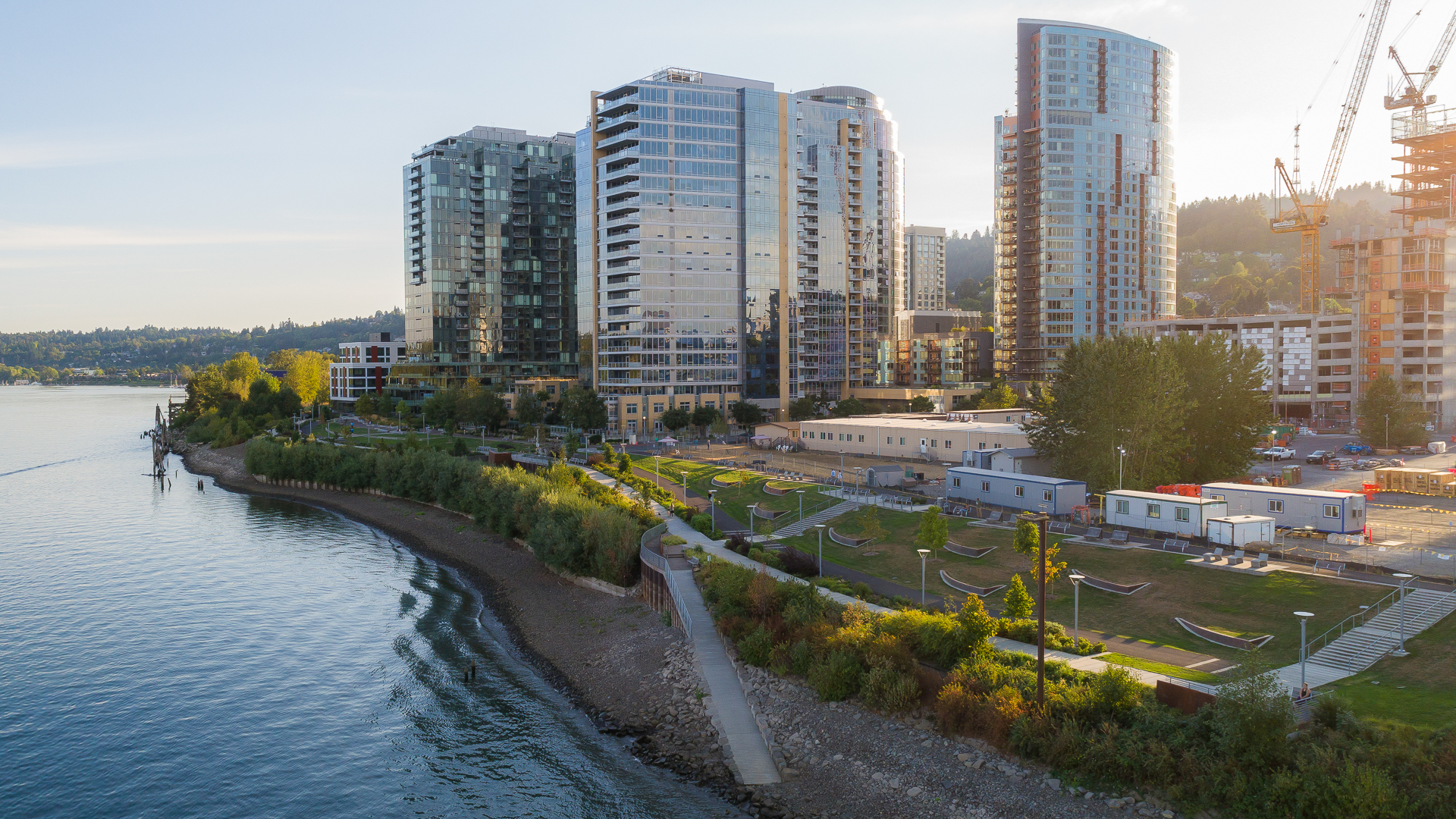
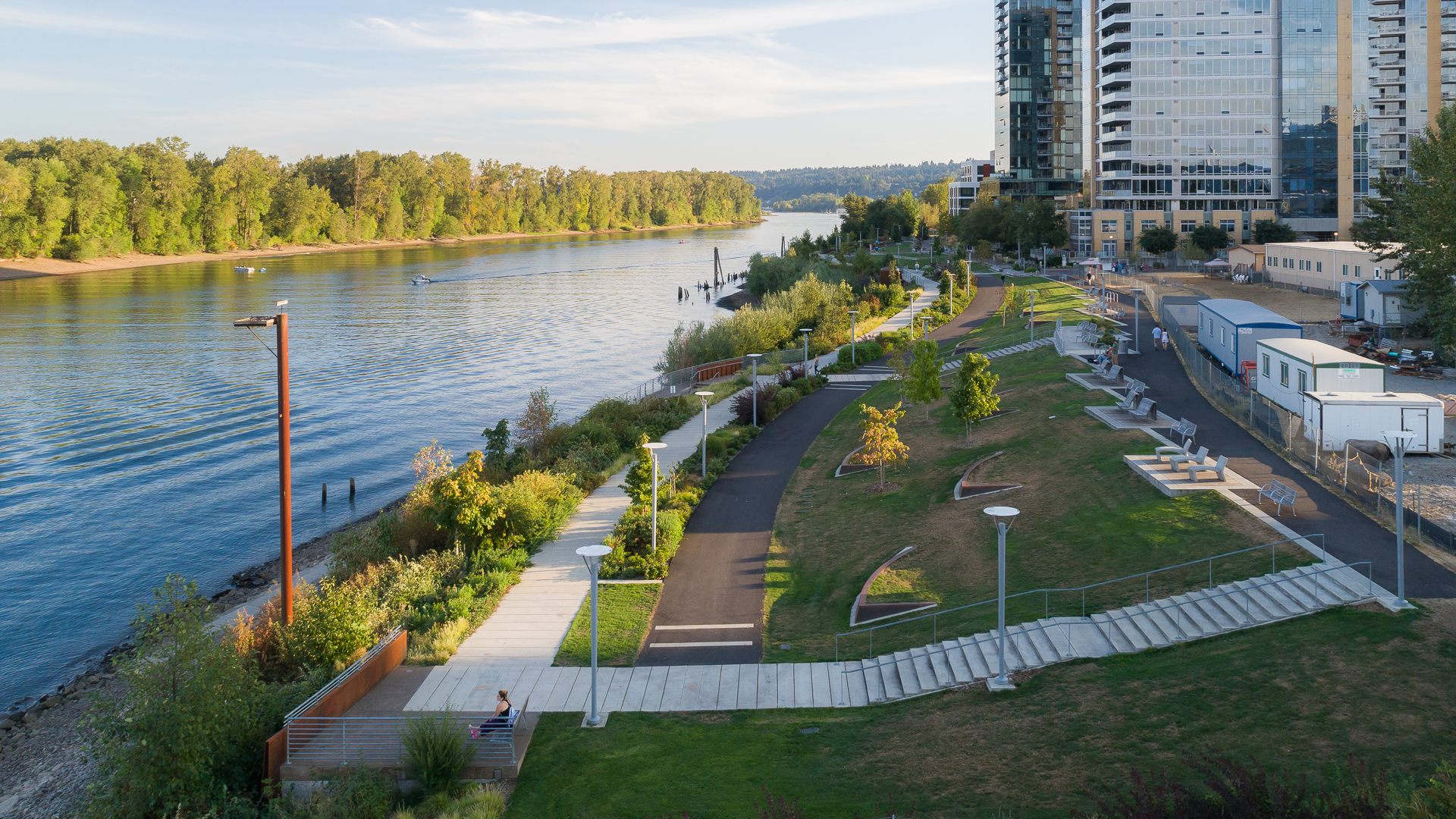
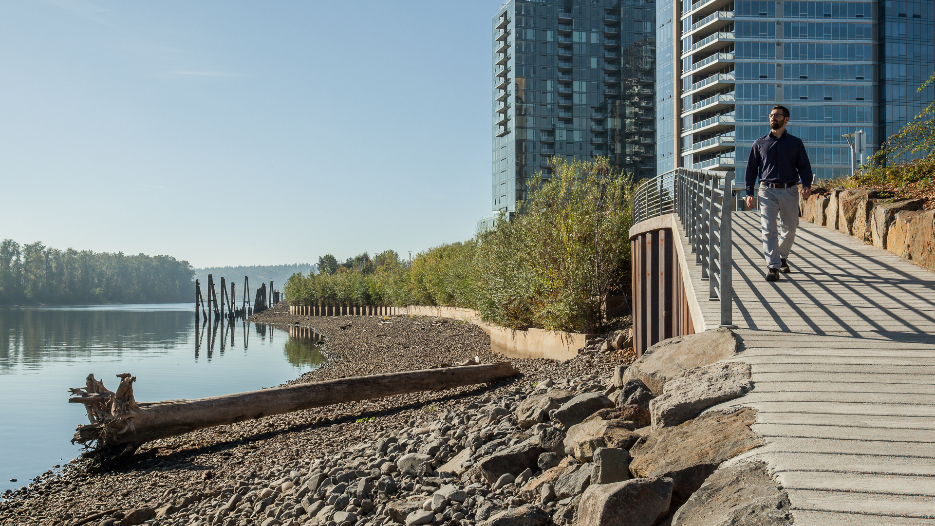
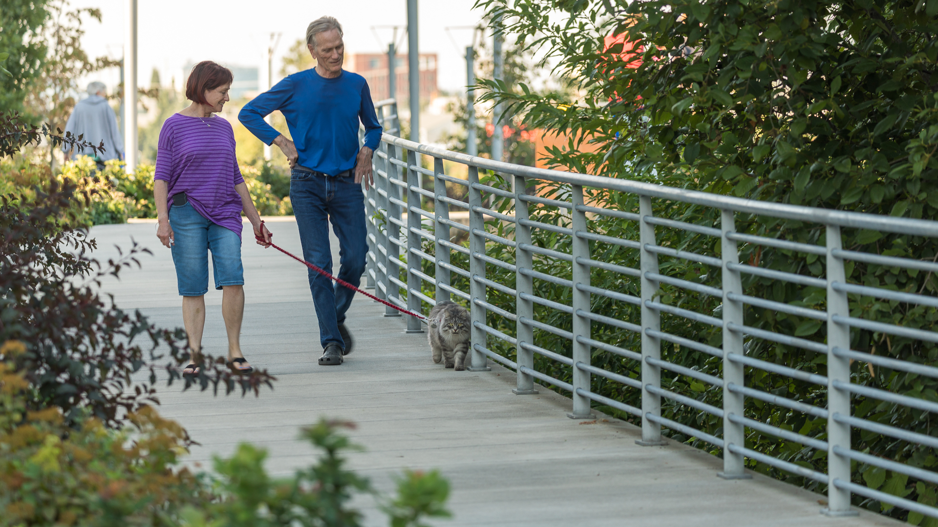
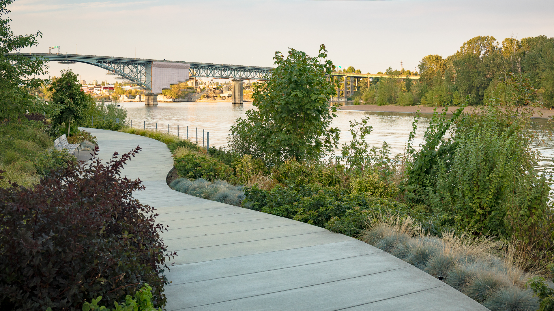
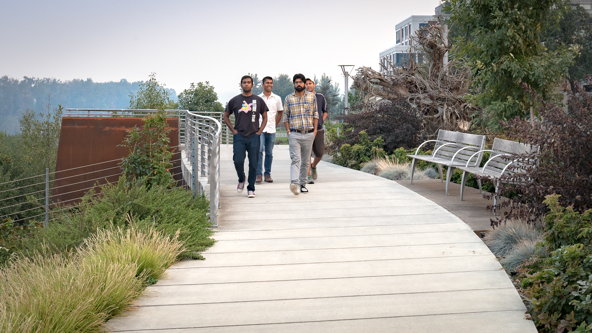
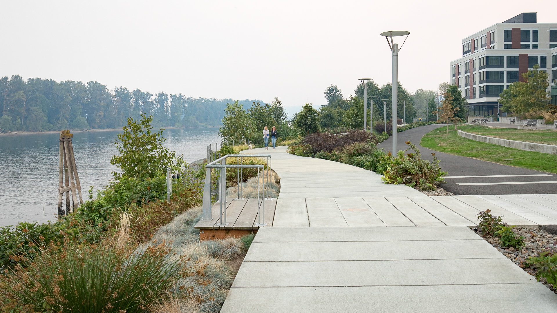
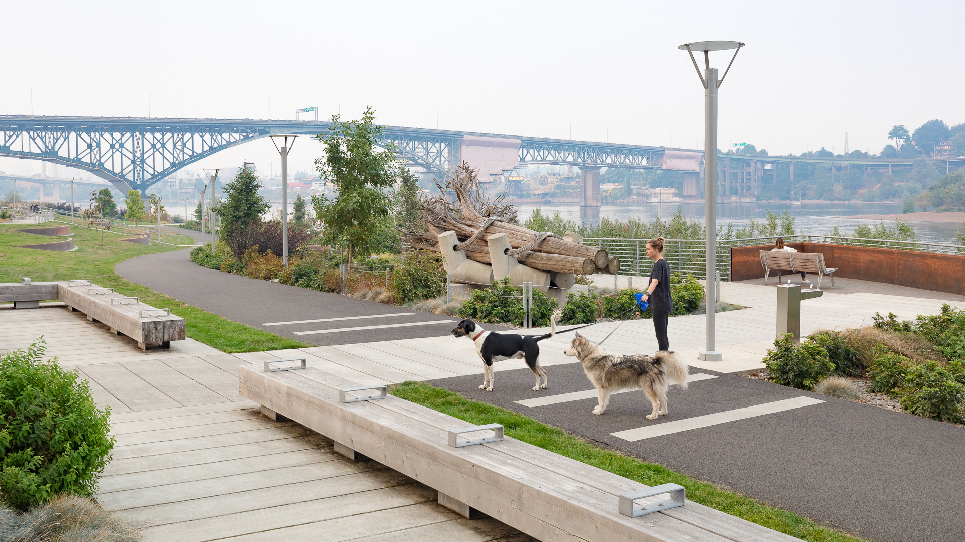
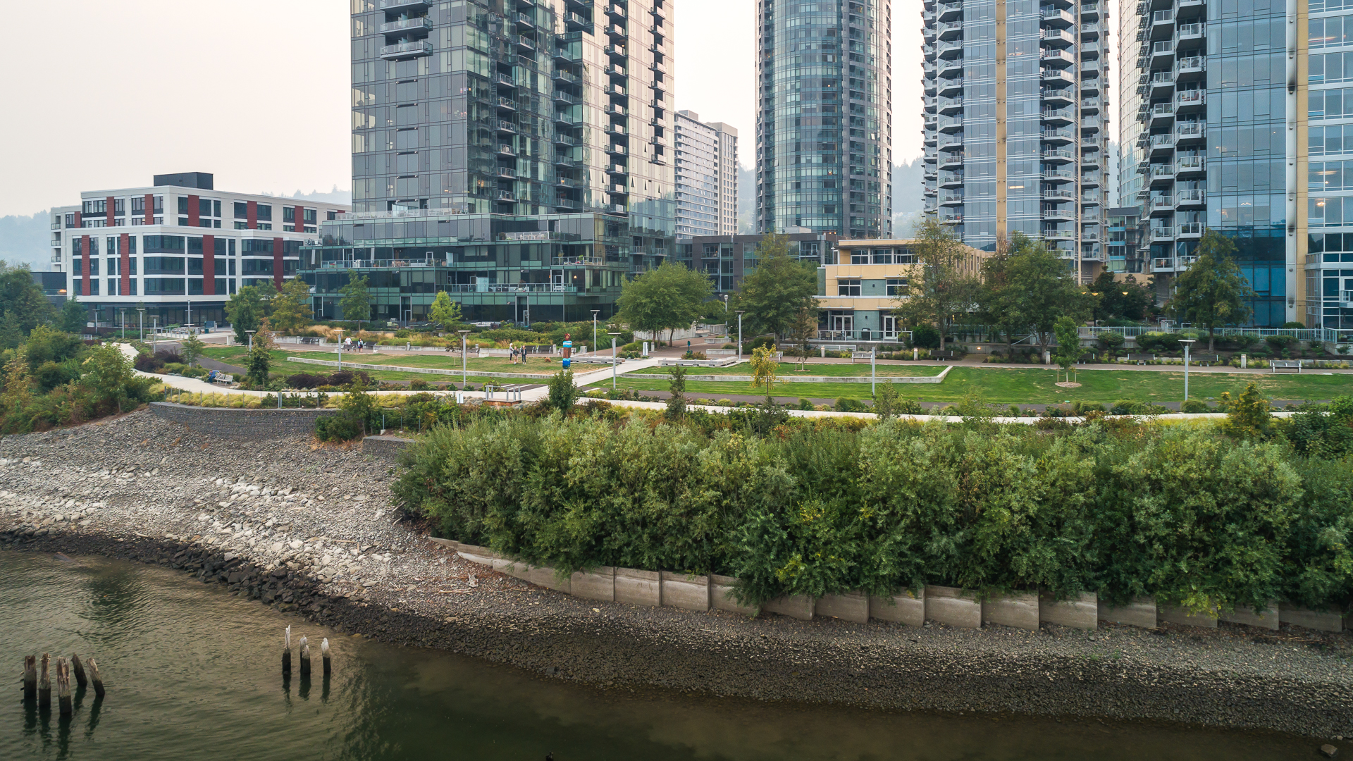
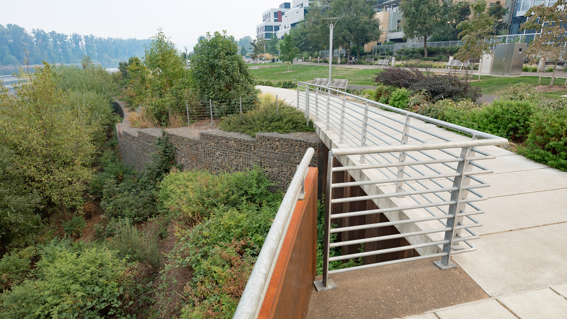
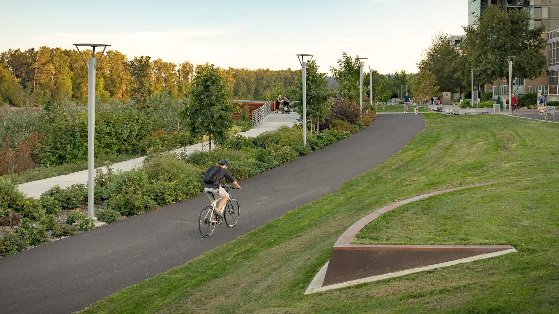
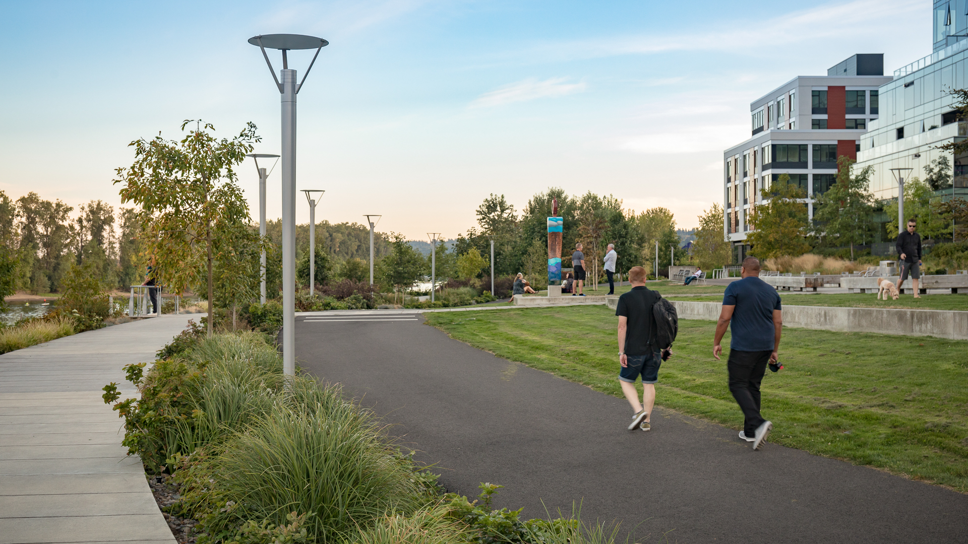
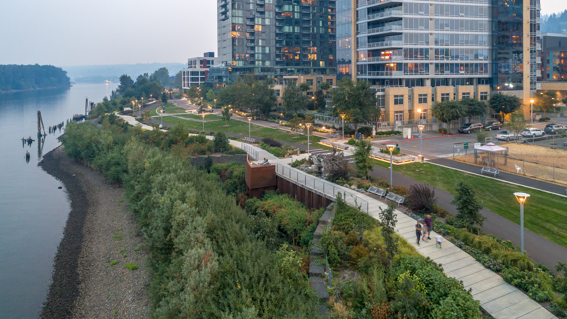
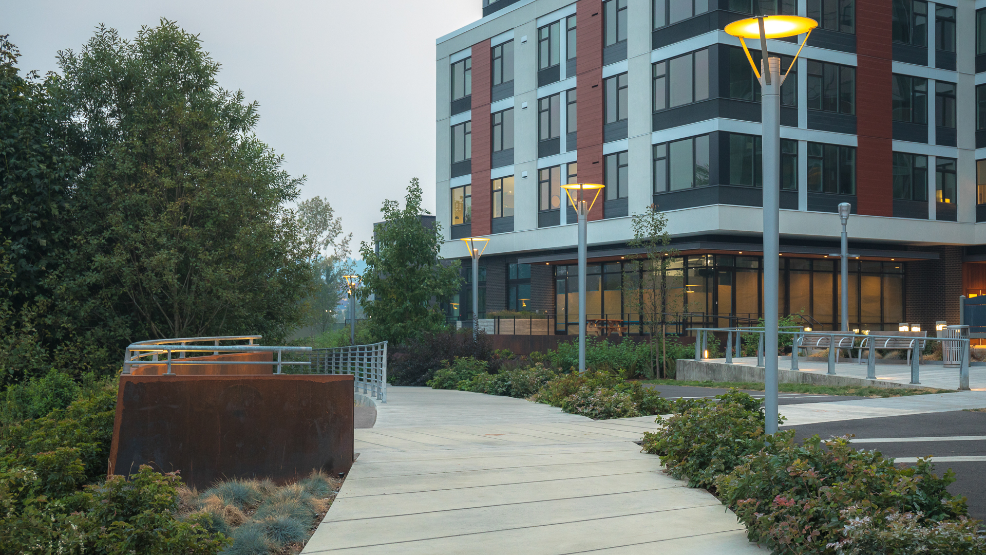
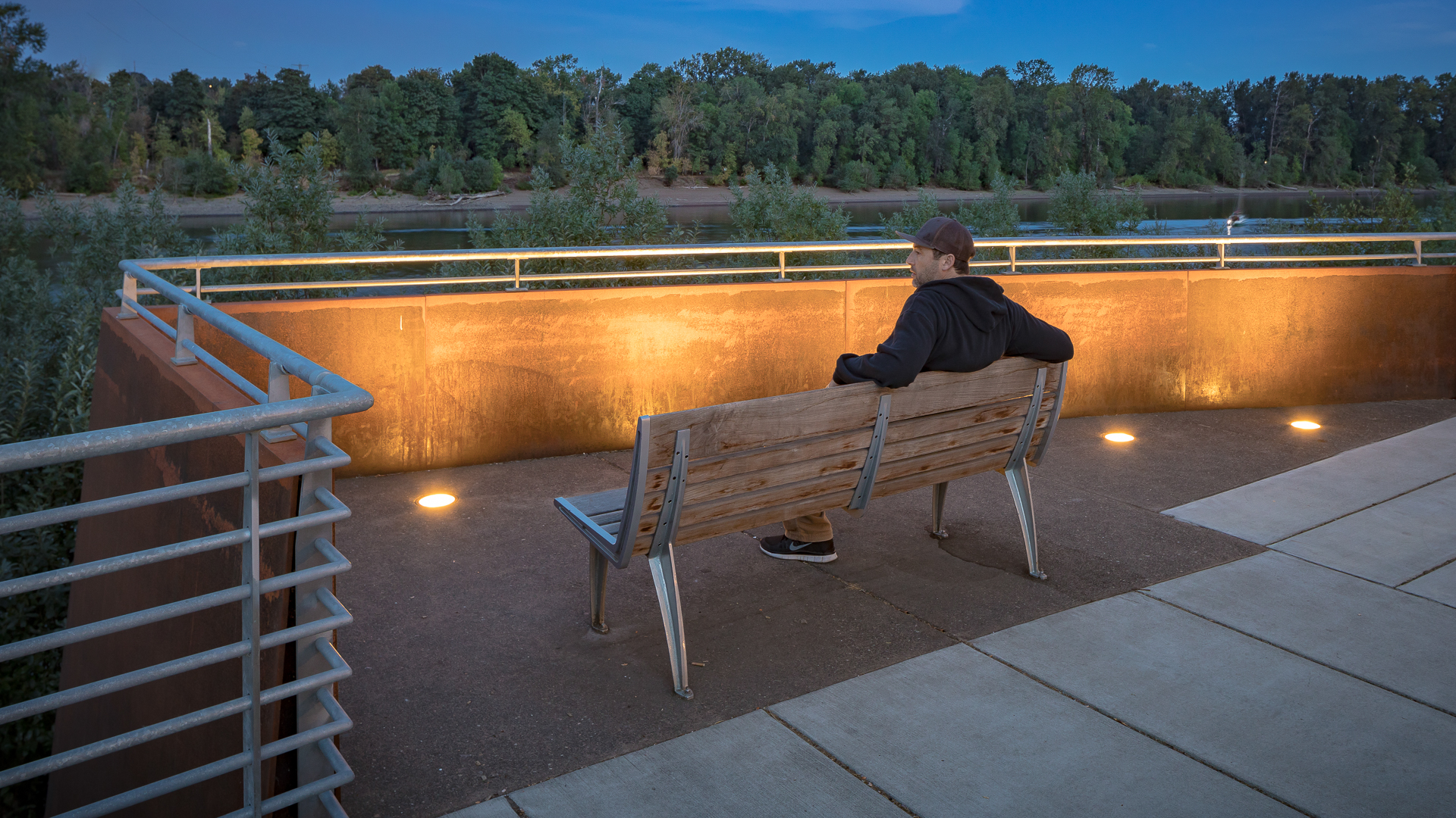
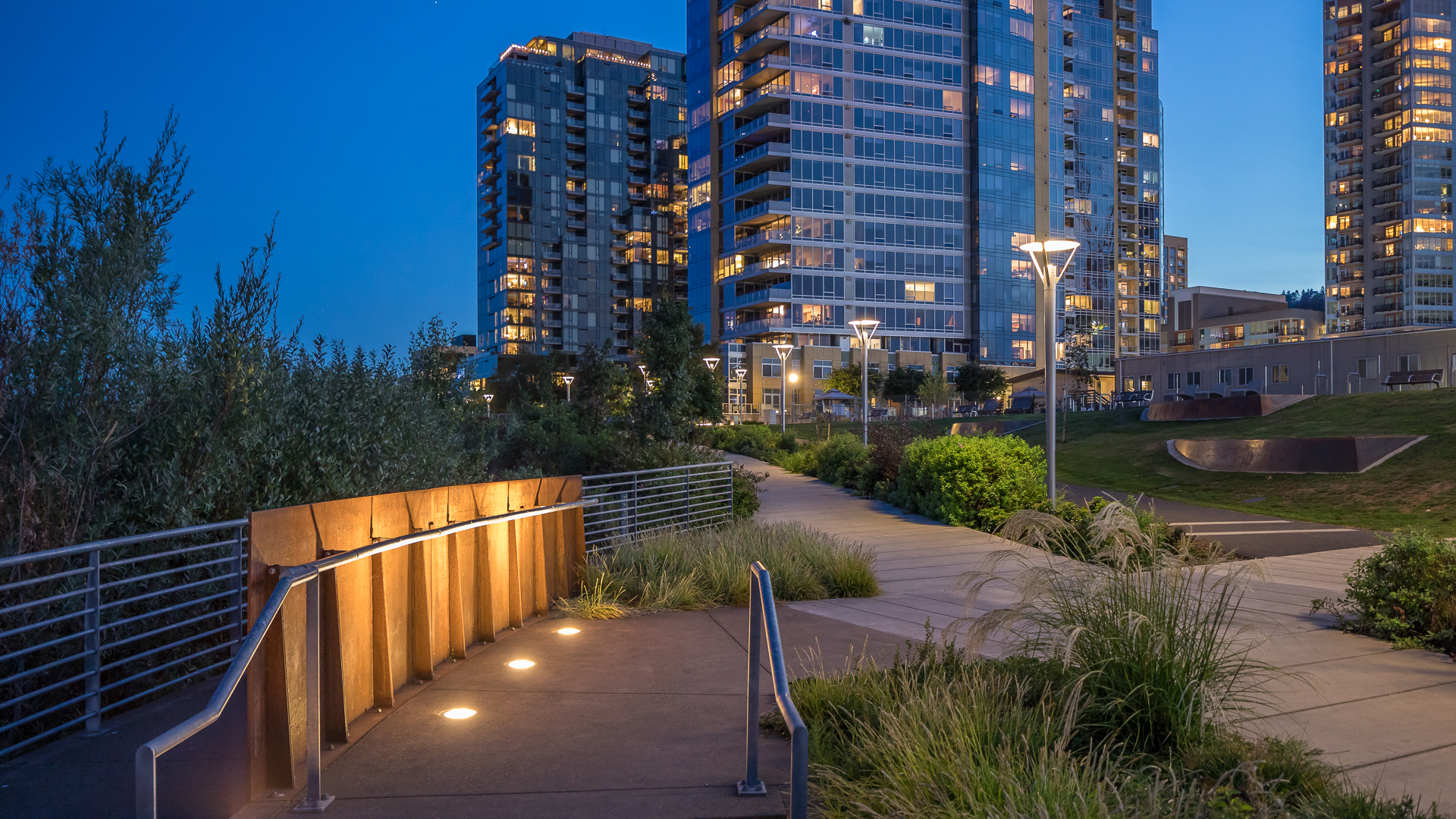
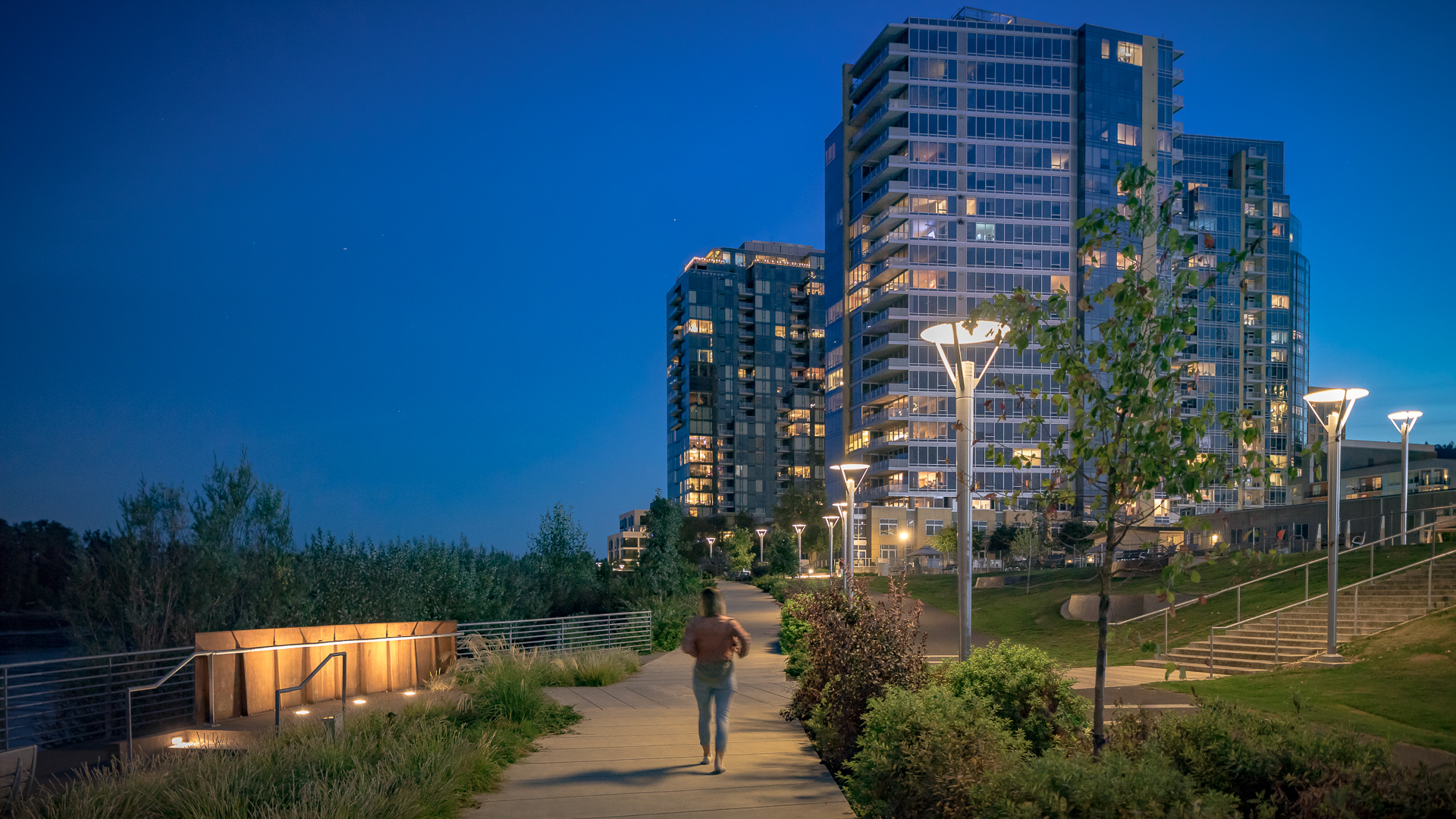
The new urban plan for South Waterfront includes a 1-1/2 mile extension of downtown’s waterfront parks and the reclamation of the Willamette River for public recreation. The design team worked closely with the City of Portland, developers, and natural resource advocates to strike a balance between development, recreation and re-naturalization of this neglected post-industrial waterfront. Extensive public outreach and charrettes with the community and other stakeholders required reconciling disparate and conflicting goals about the extent of development, re-naturalization and public access to the river.
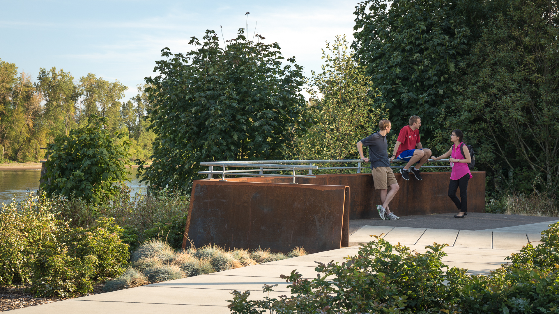
The schematic design achieved broad consensus and, together with design guidelines, is a comprehensive guide to the incremental mixed-use and park development that will follow. The park is first and foremost dedicated to the restoration of a post-industrial waterfront as a naturalized river edge and riparian habitat. The dense mixed-use development planned along its edge, as well as pedestrian and bike trails, placed the need for access at odds with the habitat goals. Working closely with environmental advocates, the design team devised a rational plan for the park, which strategically places access and activity in “moments” and nodes without compromising the newly-formed habitats. These spaces range from dramatic cantilevered pier overlooks, boat launches and active civic plazas to quiet, sloping lawns meadows and terraces. These spaces, along with the shoreline trail and bikeway, are all intended to serve the park’s diverse constituency and are connected to the city’s riverwalk, bikeway, tramway and light rail systems.
The design celebrates a rich, Native American and industrial logging and ship building heritage with a landscape narrative of cranes, ship’s bows, terraces, log overlooks and bargeways; all expressed in the 21st century design language of our current culture. While South Waterfront Park is unique to Portland’s cultural and historical heritage, it is a model for new urban waterfront parks across the country that must now meet a combination of environmental, cultural and growth goals on common ground.
Guiyang CBD
In the heart of Guizhou province lies China’s Forest City: Guiyang. Nestled on the banks of the Nanming River, today’s Guiyang is a vibrant metropolis poised to play a significant role in the rapid development of inland China. The Nanming Riverfront Cultural Central Business District Master Plan, led by SOM, leverages this potential and proposes Guiyang as the...
Dubai Hills Boulevard and Public Realm
Envisioned as a “Garden Oasis” strategically situated where city meets desert, Dubai Hills is a vibrant yet elegant mixed-use community for 21st-century living. The key public realm element of this massive 1,000-hectare development is a 5.6-kilometer urban boulevard lined with shops, residences, and offices – the district’s central spine. For Phase 1, SWA/Bals...
Chelsea Waterside Park
In 1986, Thomas Balsley Associates was asked by the Chelsea Waterside Park Association to translate this community’s vision for a waterfront park into a design document that would be used to plan the new Route 9-A and the proposed Hudson River Park. Ten years later, when funding for the Chelsea Waterside Park was identified, Thomas Balsley Associates won an in...
Marinaside Crescent
SWA provided urban design and overall conceptual landscape architectural design for this mixed-use project including condominium buildings with shops, restaurants and storefronts at street level, a waterfront promenade, a marina, parks and inner building courtyards, and pedestrian-oriented pathways linking the Marinaside Crescent Road and surrounding streets. ...

